&fill=rgba(0,0,0,0))
Vápenná dolina


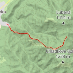
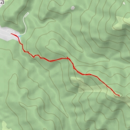
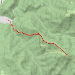
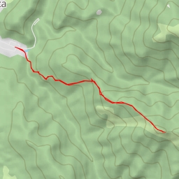
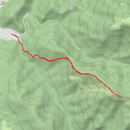
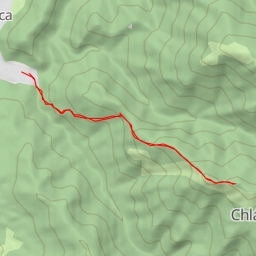
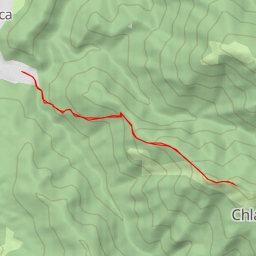
This hiking route takes you through the beautiful Vápenná dolina area, offering stunning views and a peaceful natural setting. The trail is 3.575 kilometers long with an elevation gain of 71 meters, making it an easy route suitable for all skill levels. The estimated duration for this hike is 1 hour and 18 seconds.
Along the way, you will come across several points of interest. At the beginning of the trail, you will find the parking area, perfect for starting your adventure. As you continue, you will pass by Chatová osada Gader, where you can take a break and enjoy some refreshments. Further ahead, you will reach a series of benches where you can rest and take in the surrounding nature.
Midway through the hike, you will encounter Ústie Konského Dolu, an informational point that provides insight into the area's history and significance. As you near the end of the trail, you will find a viewpoint offering panoramic views of the surroundings, as well as a peak that showcases the natural beauty of the region.
For those interested in history, a detour to Hrad Blatnica castle, located 1.74 kilometers from the trail, is highly recommended. This historic site adds a touch of cultural richness to your outdoor experience.
It is important to come prepared for the hike by bringing plenty of water, wearing sturdy hiking shoes, and checking the weather forecast beforehand. Whether you are a seasoned hiker or just starting out, this route in Vápenná dolina promises a rewarding and enjoyable outdoor experience.