&fill=rgba(0,0,0,0))
Konský dol


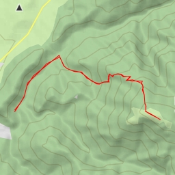
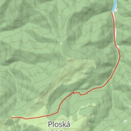
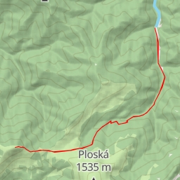
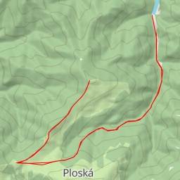
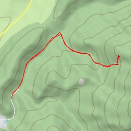
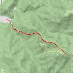
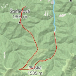
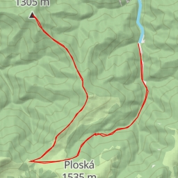
Located in the picturesque area of Konský dol, this challenging hiking route offers stunning views and a variety of points of interest along the way. The trail spans a distance of 7.617 kilometers with an elevation gain of 721 meters, making it a difficult but rewarding trek that will take approximately 3 hours and 33 minutes to complete.
As you start your journey, you will come across the Blatnica monument, located just 0.1 kilometers from the trail. This will be a great opportunity to learn about the history of the area. Further along the path, at the 0.2-kilometer mark, you will find a water source to replenish your supplies.
Midway through the hike, at around 3.5 kilometers, you will encounter the entrance to the v Ostrej cave, adding a sense of adventure to your expedition. Continuing on, at approximately 3.76 kilometers, you will reach the Ostrá peak, offering breathtaking panoramic views of the surrounding landscape.
At the 3.81-kilometer mark, you will reach Sedlo Ostrej, where you can take a moment to rest and appreciate the natural beauty of the area. Nearby, the Pamätník hrdinov SNP monument serves as a reminder of the region's rich history.
Throughout the hike, you will also come across various viewpoints, memorials, and rock formations that add to the charm of the trail. Be sure to bring plenty of water, sturdy hiking shoes, and check the weather forecast before embarking on this adventure. Whether you are a seasoned hiker or a nature enthusiast, this route in Konský dol promises an unforgettable experience.