&fill=rgba(0,0,0,0))
Vlkanová
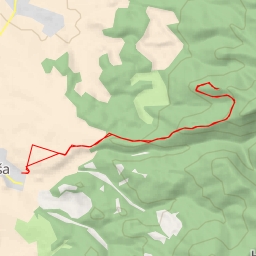
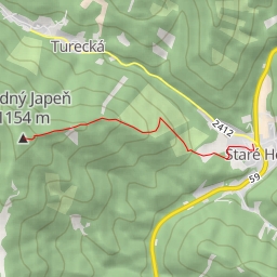
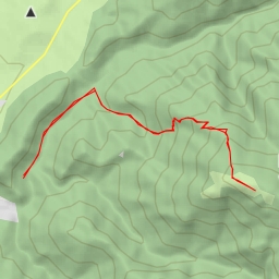
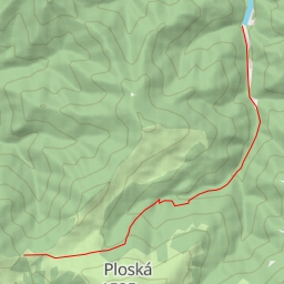
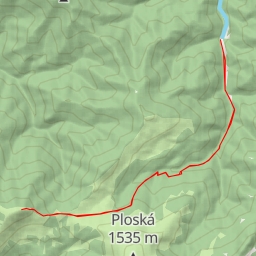
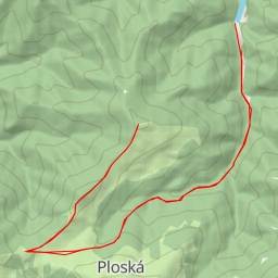
This challenging hiking route in Vlkanová spans a distance of 11.334 kilometers with an elevation gain of 721 meters, taking approximately 4 hours and 25 minutes to complete. The trail is categorized as difficult due to its length and elevation changes.
As you start your journey, you will come across the "Blatnica, pamätník" monument, located just 0.1 kilometers from the trail. Further along the path at 0.2 kilometers, you will find a water source marked as "water" on the map.
Midway through the hike, at 3.5 kilometers from the start, you'll encounter the entrance to "v Ostrej" cave, providing a unique opportunity to explore the natural formations. Continuing on, at 4.34 kilometers, you'll reach "Zadná Ostrá" and at 3.93 kilometers, "Sedlo Ostrej," both offering informative insights into the local area.
For nature enthusiasts, there are several peaks to admire along the trail, such as "Ostrá," "Národny park," and "Ostrá." Additionally, you can visit the "peak" memorial of "Lavína-r.2000" located 3.61 kilometers from the start.
It is essential to come prepared with an ample water supply, appropriate hiking gear, and to check the weather forecast before embarking on this journey. Take in the breathtaking views from various viewpoints along the trail and immerse yourself in the rich history and natural beauty of Vlkanová.