&fill=rgba(0,0,0,0))
Vlkanová
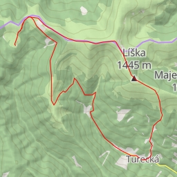
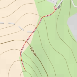
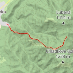
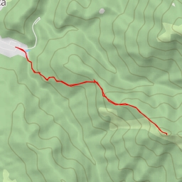
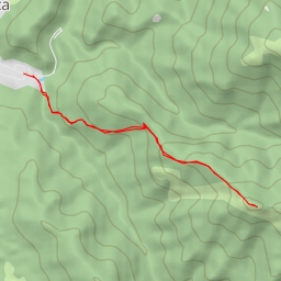
This challenging hiking route in Vlkanová offers stunning natural beauty and historic landmarks along the way. The trail spans a distance of 11.24 kilometers with an elevation gain of 721 meters, making it a difficult but rewarding adventure that takes approximately 4 hours and 24 minutes to complete.
As you begin your journey, you will come across the "Pamätník hrdinov SNP" monument, located just 0.14 kilometers from the starting point. Further along the trail at the 0.1 kilometer mark, you'll encounter the "Blatnica, pamätník" information site, providing insights into the area's history.
Around the 2.18 kilometer mark, you'll find various rock formations, including "Sovietsky veliteľ" and other natural points of interest. As you delve deeper into the hike, at the 3.5 kilometer mark, you'll pass by the entrance to the "v Ostrej" cave, offering a unique underground experience.
Heading towards the midpoint of the trail, approximately 3.76 kilometers in, you'll reach the peak of "Ostrá," a natural highlight with breathtaking views. Trekking onwards, at the 4.34 kilometer mark, you'll encounter "Zadná Ostrá," another notable landmark.
Continuing your hike, at the 5.44 kilometer mark, you'll discover another peak, adding to the scenic beauty of the surrounding landscape. Along the way back, at around 3.78 kilometers, don't miss the viewpoints like "memory Peter Mlynárik" and "Národny park" for picturesque vistas.
While embarking on this challenging hike, it's essential to carry an ample water supply and check the weather forecast beforehand. The trail's varied terrain and significant elevation gain require proper hiking gear and physical preparation. Don't forget to capture the breathtaking views and immerse yourself in the rich history and natural wonders that Vlkanová has to offer on this unforgettable outdoor adventure.