&fill=rgba(0,0,0,0))
Vlkanová
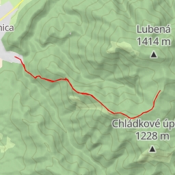
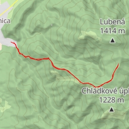
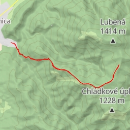
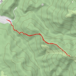
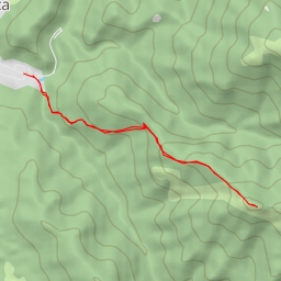
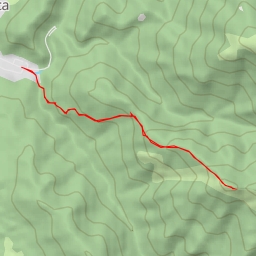
This challenging hiking route in Vlkanová spans a distance of 11.087 kilometers with an elevation gain of 721 meters, taking an estimated duration of 4 hours and 22 minutes to complete.
Starting off the trail, you will come across the "Blatnica Memorial" about 0.1 kilometers from the beginning. As you continue, at 0.2 kilometers from the start, you will find a water source marked by the "Zadná Ostrá" information point located 4.34 kilometers from the trailhead. Further along the hike, you'll encounter the "Sedlo Ostrej" information point at 3.93 kilometers from the start and the "Ostrá Peak" at 3.76 kilometers.
Along the way, make sure to check out the "Pamätník hrdinov SNP" monument situated around 0.14 kilometers from the beginning. Additionally, there are various other points of interest such as cave entrances, memorial sites, and viewpoints scattered throughout the trail to enhance your hiking experience.
Although the trail is challenging, the stunning views and interesting landmarks make it a rewarding hike for experienced adventurers. Remember to bring an adequate water supply, wear proper hiking gear, and check the weather forecast before embarking on this journey in the beautiful Vlkanová region.