&fill=rgba(0,0,0,0))
Konský dol


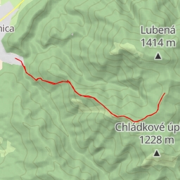
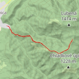
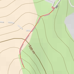
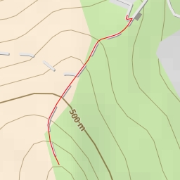
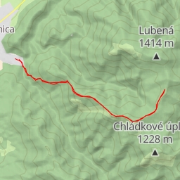
Welcome to the hiking route in Konský dol! This 8.238-kilometer trail offers a challenging yet rewarding experience for hikers. With an elevation gain of 721 meters, this route will take approximately 3 hours and 42 minutes to complete.
As you start your journey, you will come across the Blatnica monument, located just 0.1 kilometers from the trail. This is a great spot to learn more about the area's history. Further along the trail, at 0.2 kilometers from the start, you will find a water source, perfect for refilling your water bottle.
Midway through the hike, at 3.93 kilometers from the start, you will reach Sedlo Ostrej, a beautiful viewpoint that offers stunning panoramic views of the surrounding landscape. Make sure to take a moment to appreciate the scenery.
Continuing on, at 3.76 kilometers from the start, you will encounter the peak of Ostrá, a must-see location for nature enthusiasts. The trail also passes by the Pamätník hrdinov SNP monument at 0.14 kilometers from the start, adding a touch of historical significance to your hike.
Throughout the route, you will find various points of interest, including cave entrances, memorials, and rock formations. Be sure to stay hydrated and check the weather forecast before embarking on this challenging hike.
Remember to tread carefully and enjoy the natural beauty that surrounds you on this out-and-back trail in Konský dol.