&fill=rgba(0,0,0,0))
Konský dol
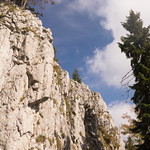
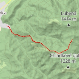
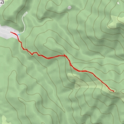
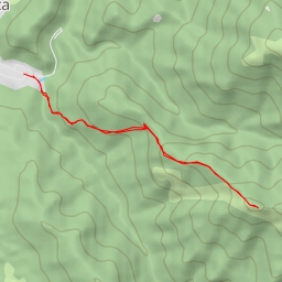
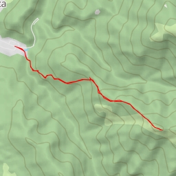
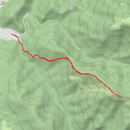
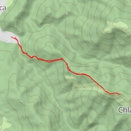
Welcome to the Konský dol hiking route, a challenging circular trail with a distance of approximately 12.97 kilometers and an elevation gain of 868 meters, making it extremely difficult. The estimated duration for this hike is around 5 hours and 10 minutes.
The hike starts in the picturesque area of Konský dol, where you can enjoy the natural beauty of the surroundings. As you begin your journey, you will come across various points of interest along the way.
At the beginning of the trail, you will find a convenient parking area for your vehicle. As you continue, approximately 5.15 kilometers into the hike, you will encounter a refreshing water source, perfect for rehydrating during your trek.
Midway through the hike, at a distance of about 1.39 kilometers from the start, you will reach the Ústie Vápennej doliny information point, where you can learn more about the area. Further along, at 0.93 kilometers from the start, you will find the Odbočka na hrad Blatnica information point, offering insights into the local attractions.
As you ascend the trail, you will have the opportunity to enjoy stunning viewpoints at various points, such as Tlstá and Lubená peaks. These viewpoints provide panoramic vistas of the surrounding landscape, rewarding you for your effort.
Additionally, you will come across other points of interest including the Chatová osada Gader restaurant, Ústie Konského Dolu information point, and Jaskyňa Mažarná cave entrance.
Remember to bring an ample water supply, as this challenging hike requires proper hydration. It is also advisable to check the weather forecast before embarking on the journey to ensure a safe and enjoyable experience.
Overall, the Konský dol hiking route offers a rewarding adventure for outdoor enthusiasts seeking a challenging and scenic trek. Get ready to immerse yourself in the beauty of nature and conquer this exhilarating trail.