Konský dol
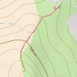
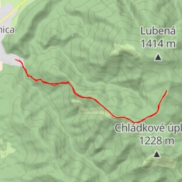
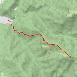
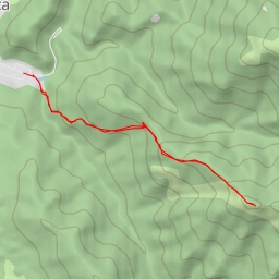
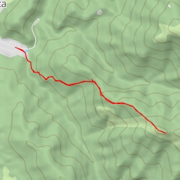
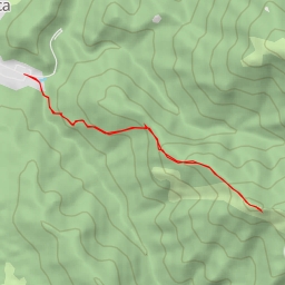
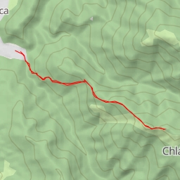
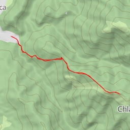
This hiking route takes you through the picturesque area of Konský dol, offering stunning views and historical landmarks along the way. The trail is 5.264 kilometers long with an elevation gain of 455 meters, making it a moderate difficulty hike.
Starting at the trailhead, you will come across the Blatnica monument just 0.1 kilometers from the start, followed by the Pamätník hrdinov SNP (monument) at 0.14 kilometers. Further along the trail at 0.19 kilometers, you will find the Sovietsky veliteľ memorial and the Národný park information point.
As you continue hiking, you will pass by a cave entrance at 0.21 kilometers and various rock formations at 2.18 kilometers. One notable rock formation is Kaškova veža, located 0.89 kilometers from the start. Midway through the hike, at 2.63 kilometers, you will reach a viewpoint offering panoramic vistas of the surrounding landscape.
It is recommended to bring plenty of water, as there are limited water sources along the trail. Additionally, check the weather forecast before embarking on this hike to ensure a safe and enjoyable experience. Be mindful of the varying terrain and elevation changes, and wear appropriate footwear for the conditions.
Overall, this out-and-back hike in Konský dol promises a rewarding adventure for nature lovers and history enthusiasts alike.