&fill=rgba(0,0,0,0))
Vlkanová
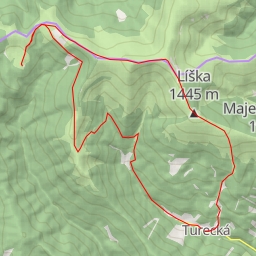
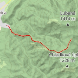
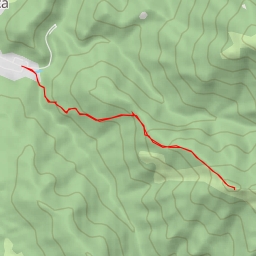
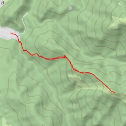
This hiking route in Vlkanová covers a distance of 10.88 kilometers with an elevation gain of 721 meters, making it a difficult trail. The estimated duration for completing this hike is around 4 hours and 19 minutes, so be prepared for a challenging trek.
Starting from the designated parking area at the beginning of the trail, you will first come across the "Pamätník hrdinov SNP" monument, located approximately 0.14 kilometers into the hike. As you continue along the trail, you'll encounter the "Blatnica, pamätník" information point and the "Zadná Ostrá" and "Sedlo Ostrej" information points further ahead.
Around the midway point of the hike, at approximately 3.5 kilometers from the start, you'll find the entrance to the "v Ostrej" cave. Additionally, make sure to check out the "Sovietsky veliteľ" memorial and the "Národny park" information point located 0.19 kilometers away from each other.
As you progress further along the trail, you'll reach the peaks of "Ostrá" and "Lavína-r.2000" at 5.44 and 3.61 kilometers from the start, respectively. These points offer stunning views and are worth the hike.
Throughout the trail, you'll also come across various rock formations, viewpoints, and other points of interest, providing ample opportunities to rest and take in the surroundings.
Given the length and elevation gain of the trail, it is recommended to bring sufficient water, snacks, and proper hiking gear. It's also advisable to check the weather forecast before embarking on the hike to ensure a safe and enjoyable experience.