&fill=rgba(0,0,0,0))
Wandl


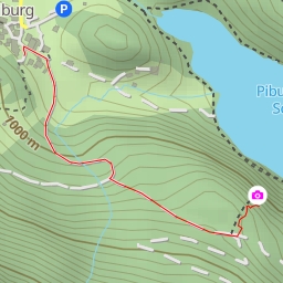
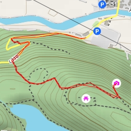
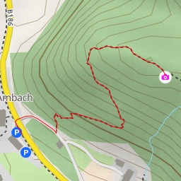
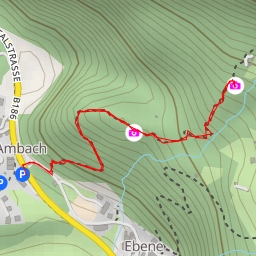
This hiking route takes you through the beautiful Wandl area, offering a moderate level of difficulty with a distance of 6.254 kilometers and an elevation gain of 469 meters. It is estimated to take around 2 hours and 37 minutes to complete, so make sure to plan accordingly.
To start your journey, you can park your car at the designated parking area near the trail, which is located right at the beginning of the route. As you begin your hike, you will come across Ottos Einkehr, a pub that is just 0.2 kilometers from the starting point. Feel free to stop by and grab a drink or snack before continuing on your way.
Further along the trail at 1.62 kilometers from the start, you will reach Balbach Alm, a lovely restaurant where you can take a break and enjoy a meal with a picturesque view of the surroundings. Continuing on, at 2.37 kilometers from the start, you will come across Kuhtailer Alm, another restaurant offering a location to rest and refuel.
At 2.8 kilometers into the hike, you will find Speicherteich - Skigebiet HOCHOETZ, a water feature where you can take in the tranquil views. As you make your way back, consider visiting Wandl, a peak that is 3.1 kilometers from the start, offering stunning panoramic views of the area.
If you are interested in wildlife, make sure to check out Pfad der Wildtiere, located 0.59 kilometers from the start.
Before embarking on this hike, be sure to pack plenty of water, wear appropriate footwear, and check the weather forecast to ensure a safe and enjoyable experience. Whether you are a seasoned hiker or just looking for a relaxing outdoor adventure, this route has something for everyone to enjoy.