&fill=rgba(0,0,0,0))
Pirchkogel


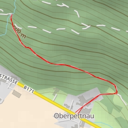
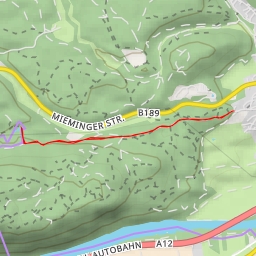
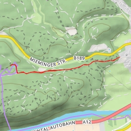
The Pirchkogel hiking route offers a challenging but rewarding experience for outdoor enthusiasts. Spanning a distance of 8.764 kilometers with an elevation gain of 845 meters, this route is classified as difficult and is estimated to take approximately 4 hours and 8 minutes to complete.
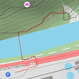
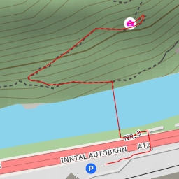
Starting at the trailhead, hikers will venture into a picturesque landscape surrounded by the natural beauty of the area. Along the way, there are several points of interest to explore. At around 0.52 kilometers from the start, hikers will find parking facilities for convenience. Further along the trail, at approximately 3.56 kilometers, the Gossenkölle water feature provides a tranquil spot to rest and take in the surroundings.
As the hike continues, hikers will encounter more amenities such as the Schirmbar pub at 0.04 kilometers and Zum Kaiser Maximilian restaurant at 1.87 kilometers from the start. For those looking to learn more about the area, the Touristinfo- Kassa information center at 0.83 kilometers offers valuable insights.
Midway through the hike, at around 3.81 kilometers from the start, the Hinterer Grieskogel peak presents a challenging but rewarding side trek for those seeking additional adventure. Additionally, the Pirchkogel peak at 4.38 kilometers marks a significant milestone for hikers, providing stunning panoramic views as a reward for their efforts.
Throughout the hike, it is important for hikers to stay hydrated and carry an adequate supply of water. Additionally, checking the weather forecast before embarking on the journey is recommended to ensure a safe and enjoyable experience.
In conclusion, the Pirchkogel hiking route offers a memorable outdoor adventure for those willing to take on the challenge. With its diverse points of interest and breathtaking natural scenery, this route is sure to leave a lasting impression on all who explore it.