Relief Maps
Hiking : Bec de Montchair Voie Normale
&fill=rgba(0,0,0,0))
Durée
Distance
Dénivelé
 Cet itinéraire vous est proposé par la communauté Camp to Camp. Cliquez ici pour y accéder directement sur leur site web.
### Montée
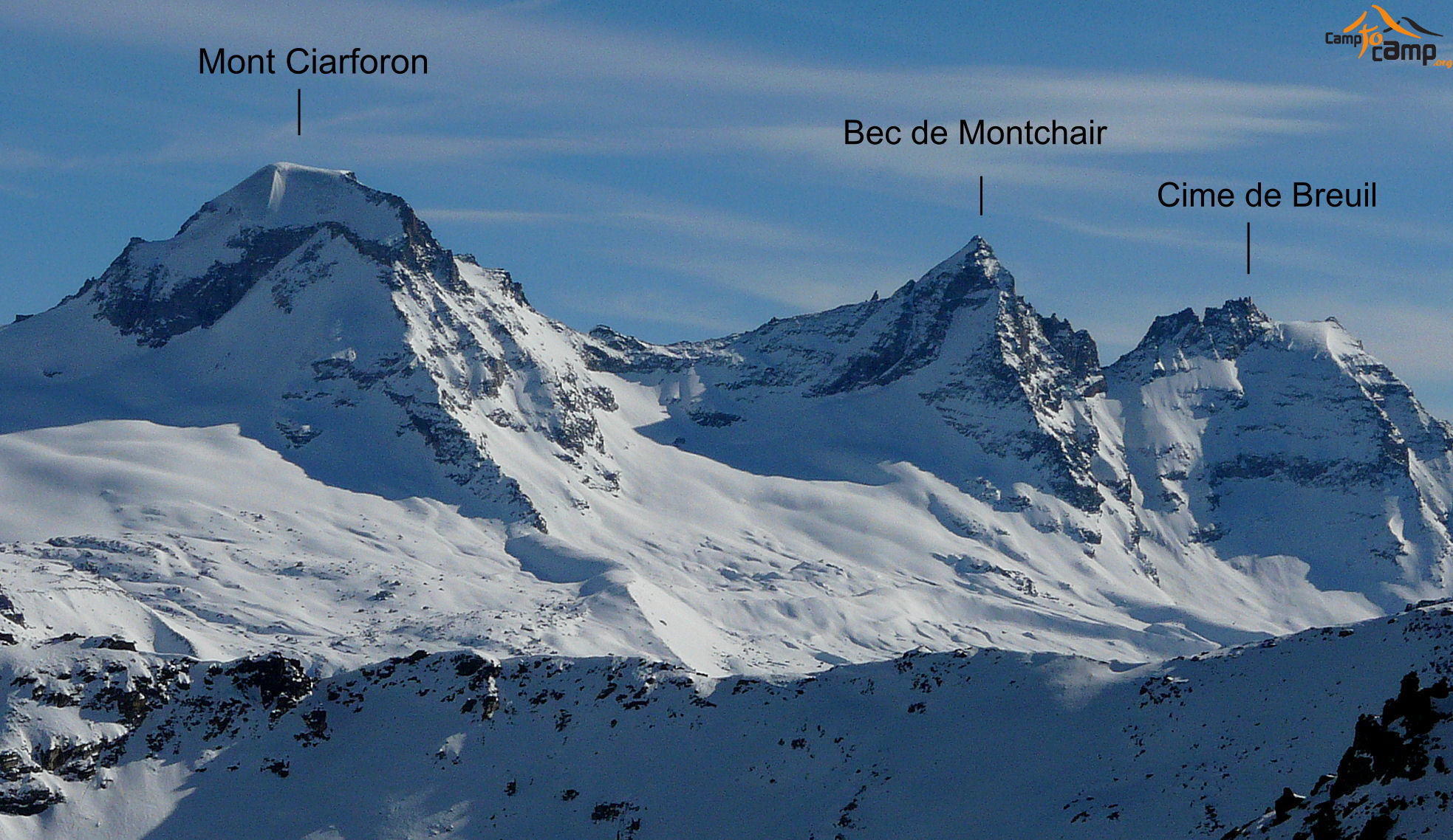
Du [[waypoints/104187|refuge Vittorio Emanuele II]], contourner le mont [[waypoints/43052|Ciarforon]] par l'W pour atteindre le petit cirque sous le Bec de Monchair. Laisser la face NW à droite et monter sur la gauche pour passer au-dessus des barres puis en traversée ascendante vers la droite pour rejoindre l'arête avant le grand gendarme. Suivre l'arête d'abord mixte puis neigeuse jusqu'au sommet sans difficulté.
### Retour
Par le même itinéraire


