Bachende
Welcome to the Bachende hiking route!
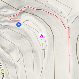
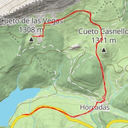
Located in a picturesque area, this hiking trail offers a challenging but rewarding experience for outdoor enthusiasts. With a total distance of 8.077 kilometers and an elevation gain of 451 meters, this route is classified as difficult and is best suited for experienced hikers.
As you start your journey, you'll come across the Pico Gilbo peak at 3.27 kilometers from the beginning of the trail. This is a great spot to take in panoramic views of the surrounding landscape. Further along, at 3.83 kilometers, you'll encounter the Peña de los Serrones peak, offering another opportunity to marvel at the natural beauty of the area.
Midway through the hike, around 3.73 kilometers, you'll reach the saddle known as Cueto Casnello. This is a perfect place to catch your breath and enjoy a moment of tranquility before continuing on your adventure.
As you make your way back, make sure to stop by the various peaks along the trail, such as those at 4.04 kilometers, offering unique vantage points and photo opportunities. Additionally, you'll find amenities like a picnic site, information center, and a bar along the route to rest and refuel.
Before embarking on this hike, remember to bring plenty of water, wear appropriate footwear, and check the weather forecast. With its stunning views and challenging terrain, the Bachende hiking route promises an unforgettable outdoor experience for those willing to take on the adventure.