&fill=rgba(0,0,0,0))
Gulderturm
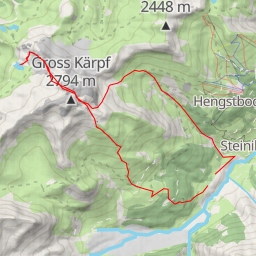
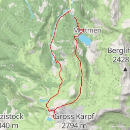
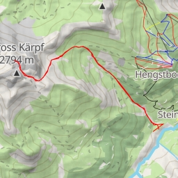
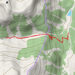
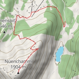
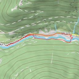
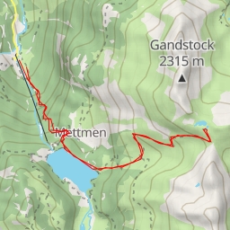
This hiking route to Gulderturm is set in a picturesque area with stunning natural beauty. The trail spans a total distance of 15.635 kilometers with an elevation gain of 1626 meters, making it an extremely difficult hike that will challenge even experienced hikers. The expected duration for this hike is approximately 7 hours and 41 minutes.
As you embark on this journey, you will encounter several points of interest along the way. At the beginning of the trail, you will find a parking area followed by a shelter that provides a resting spot for hikers. Continuing on, you will come across the Geissberg information point, providing insights into the local area.
Further along the trail, you will find the Weissenberg and Fuchsenberg information points, offering interesting facts about the surroundings. Additionally, there are restaurants such as Wirtschaft zum Weissenberg and Berggasthaus Edelwyss where you can refuel and enjoy a meal with beautiful views.
As you venture deeper into the hike, you will pass by peaks like Gulderstock, Sunnenhöreli, and Gulderturm, where you can revel in breathtaking panoramas of the landscape. Along the way, you'll also find facilities like benches and alpine huts such as Skihaus Stäfeli for a comfortable break.
It is essential to come prepared for this challenging hike by bringing plenty of water, snacks, proper hiking gear, and checking the weather forecast before embarking on the journey. The trail is an out-and-back type, meaning you will retrace your steps back to the starting point.
Overall, this hike to Gulderturm offers a rewarding experience for adventure enthusiasts seeking a strenuous yet captivating outdoor excursion amidst the beauty of nature.