Los Carbajales
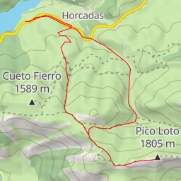
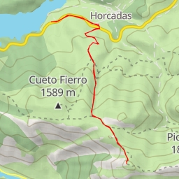
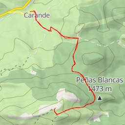
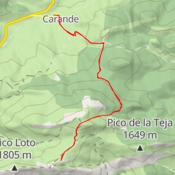
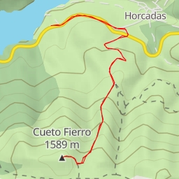
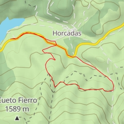
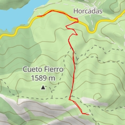
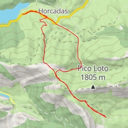
Located in the beautiful region of Los Carbajales, this hiking route offers a challenging yet rewarding experience for outdoor enthusiasts. Spanning a distance of 54.235 kilometers with an elevation gain of 1272 meters, this extremely difficult trail is approximately a 15-hour journey round trip.
As you embark on this adventure, you will encounter various points of interest along the way. At the beginning of the trail, you will find convenient parking areas to leave your vehicle before setting off on your hike. As you make your way through the route, you will come across the historic ruins of Éscaro, providing a glimpse into the region's past. Further along, you will discover viewpoints like Mirador de Valcayo, offering stunning panoramic vistas of the surrounding landscape.
For sustenance and relaxation, there are several amenities scattered throughout the trail. From bars and restaurants like El Mesón and Gure-Txoko to picnic sites and drinking water stations, you will have opportunities to refuel and recharge during your journey. Make sure to visit the informational points such as Juma and Fuente montañera to learn more about the area's history and significance.
As you challenge yourself with the length and elevation of the hike, it is essential to come prepared. Remember to bring an ample water supply, snacks, proper hiking gear, and check the weather forecast before heading out. Additionally, be mindful of your energy levels and take breaks as needed to avoid overexertion.
Whether you are a seasoned hiker looking for a tough expedition or simply seeking a picturesque outdoor adventure, the Los Carbajales hiking route promises a memorable experience amidst nature's beauty.