Hiking : Forêt de l'Ospedale
France Corse Corse-du-Sud Porto-Vecchio
&fill=rgba(0,0,0,0))
Durée
Distance
Dénivelé


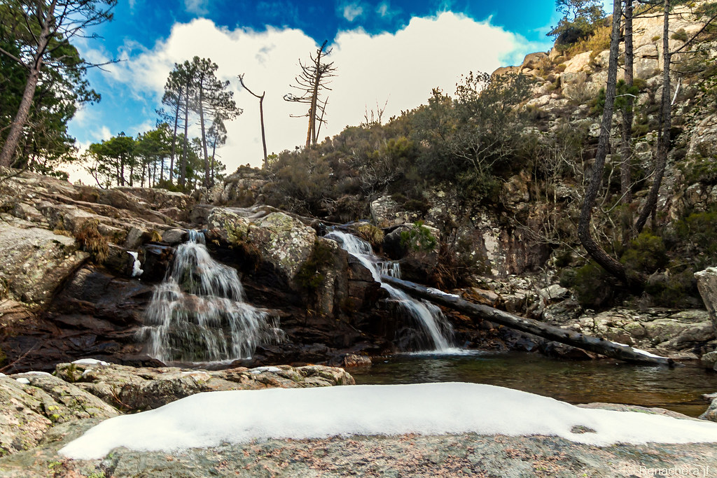


The hike will take you to the beautiful Forêt de l'Ospedale area. This out-and-back route has a total distance of 7.41 kilometers with no elevation gain, making it suitable for hikers of all levels.
You will start your journey at the parking area near the trailhead. Be sure to bring enough water and snacks for the hike as there are no facilities along the trail. Before embarking on your adventure, check the weather forecast to ensure a safe and enjoyable experience.
As you trek through the forest, be on the lookout for information points that provide interesting insights about the area. Along the way, you will also come across a viewpoint where you can pause and take in the breathtaking scenery of Forêt de l'Ospedale.
The endpoint of the hike will bring you back to the starting point, completing the out-and-back trail. With its manageable distance and flat terrain, this hike is perfect for a leisurely stroll amidst nature. Enjoy the serene surroundings and immerse yourself in the beauty of Forêt de l'Ospedale.


