&fill=rgba(0,0,0,0))
62 - Zonza


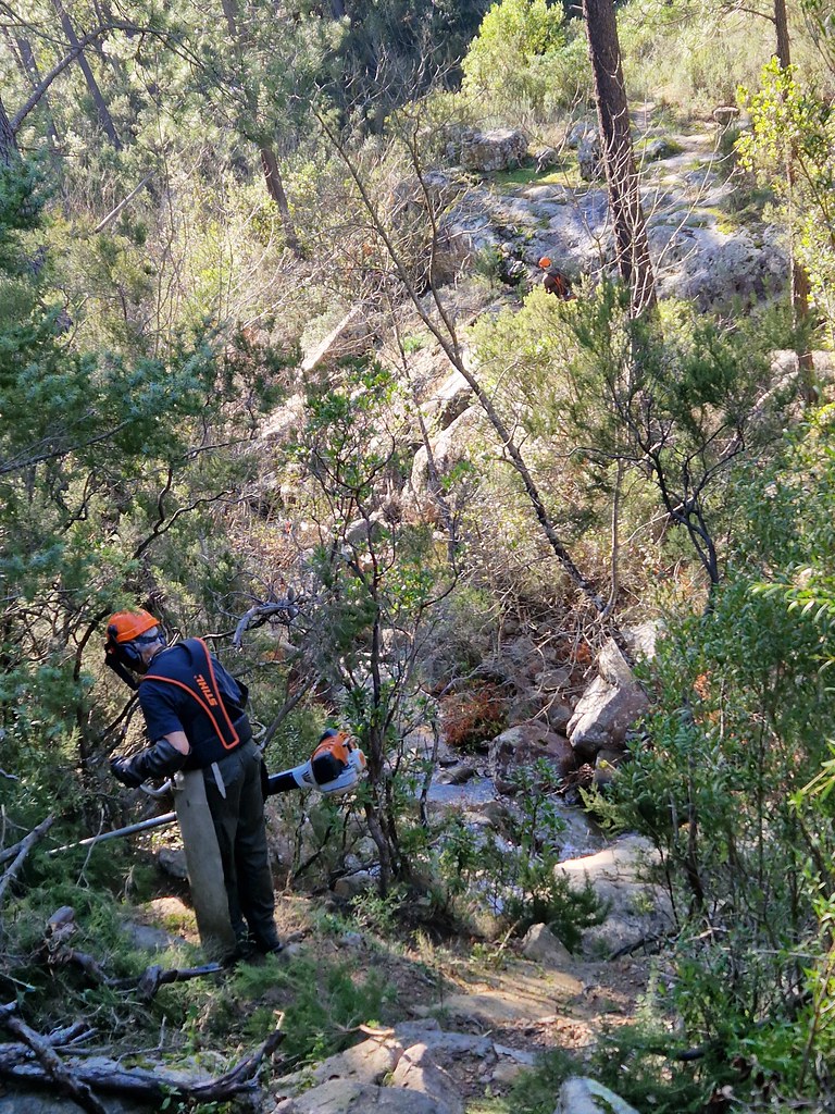
This hiking route is located in the beautiful area of Zonza, with stunning natural landscapes and an elevation gain of 308 meters along the 9.9 km trail. The route starts at 32 - 40 information point and passes by various points of interest, such as a water source and rock formations. It is important to bring enough water for this hike, as there are limited natural sources along the way.
As you continue on the trail, you will come across a parking area at a distance of 3 km, followed by the peak of Punta di i Lauri at 4 km. From there, you can enjoy panoramic views from the viewpoint at 62 and learn more about the area at informational points 61, Buplèvre Ligneux, Romarin, Ciste de Montpellier, Ciste de Crète, Anémone Couronnée, Férule d'Aragon, and Genêt de Corse.
The route is classified as an out-and-back trail, meaning you will return the same way you came. It is advisable to check the weather forecast before embarking on this hike and to wear appropriate footwear and clothing. The trail offers a moderate level of difficulty due to its length and elevation gain, so make sure to pace yourself accordingly. Enjoy the natural beauty and unique points of interest along the way in this picturesque hiking destination.


