Jochart
Welcome to the Jochart hiking route!
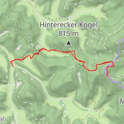
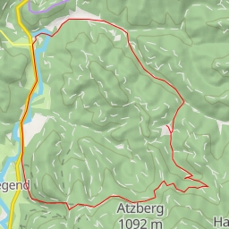
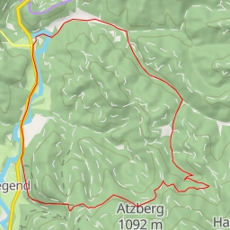
This 8.839-kilometer circular trail offers a challenging yet rewarding experience for hikers. The route has an elevation gain of 581 meters and is estimated to take around 3 hours and 29 minutes to complete.
Starting off at the trailhead, you'll come across the Zellenbacher Einsegnungskreuz historic wayside cross at the beginning of the hike. As you progress further, you'll find benches and picnic sites scattered along the trail, providing opportunities to rest and enjoy the picturesque surroundings.
Midway through the hike, you'll encounter the Jochart peak, offering stunning panoramic views of the area. Don't forget to bring plenty of water and snacks to refuel as you reach this point.
As you continue your journey, you'll pass by the Leitnerhöhle cave entrance and the Haasenbankerl bench. Keep an eye out for the Serpentinenkluft and Oberes Losungsloch cave entrances on your way back.
Throughout the hike, there are various points of interest such as drinking water stations, information points, and historic landmarks to enhance your experience.
Before embarking on this trail, make sure to check the weather forecast and wear appropriate hiking gear. Additionally, it is recommended to carry a map or GPS device to navigate the route effectively.
Whether you're a seasoned hiker looking for a new challenge or a nature enthusiast seeking spectacular views, the Jochart hiking route promises an unforgettable adventure in the great outdoors. Start your journey today and enjoy the beauty of this scenic trail!