&fill=rgba(0,0,0,0))
Vápenná dolina
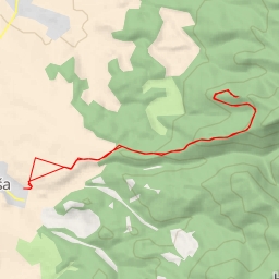
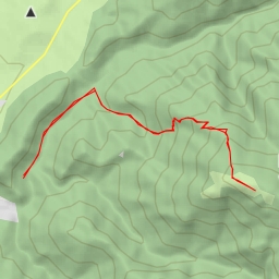
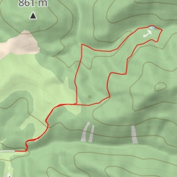
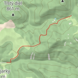
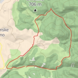
This hiking route takes you through the beautiful area of Vápenná dolina, offering a mix of natural beauty and historic sites. The trail is 4.082 kilometers long with an elevation gain of 105 meters, making it an easy hike suitable for all skill levels.
Starting at the parking area at the trailhead, you will first come across the Chatová osada Gader restaurant, a great spot to fuel up before heading further into the trail. As you continue, you will pass by several information points providing interesting insights about the area, such as Ústie Konského Dolu and Ústie Vápennej doliny. These points also offer a chance to take a break and learn more about the surroundings.
About midway through the hike, you will reach the highlight of the trail - the castle of Blatnica. Located at a distance of 1.78 kilometers from the start, this historic site is a must-visit for history enthusiasts. You can explore the ruins of the castle and enjoy panoramic views from the viewpoint nearby.
Along the way back, you will find several benches to rest and take in the serene surroundings. Make sure to stop by the peak viewpoints, such as the one at 2.04 kilometers from the start, for breathtaking views of the surrounding landscape.
Before embarking on this hike, remember to bring plenty of water, wear comfortable shoes, and check the weather forecast. Whether you are looking for a leisurely stroll or a historical adventure, this hiking route in Vápenná dolina has something for everyone. Enjoy your outdoor adventure!