&fill=rgba(0,0,0,0))
Torre Tita
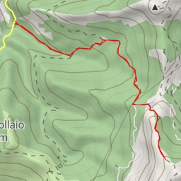
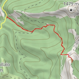
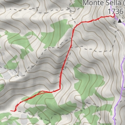
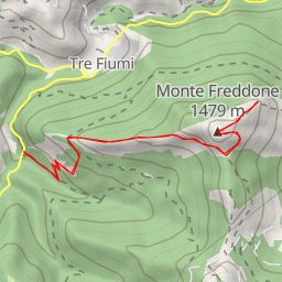
This challenging hiking route takes you to the beautiful area of Torre Tita. The trail will lead you through a 4.366-kilometer journey with an elevation gain of 592 meters, making it a difficult yet rewarding hike. It is recommended to bring plenty of water and snacks for this adventure.
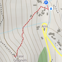
At the beginning of the trail, you will find a convenient parking area for your vehicle. As you make your way along the path, you will come across a stunning viewpoint at 1.67 kilometers from the start, where you can take in breathtaking panoramic views of the surrounding landscape.
Midway through the hike, at around 2.12 kilometers from the starting point, you will find the impressive peaks of Cima Garnerone S and Torre Tita. These natural landmarks provide a perfect backdrop for a rest stop and some photo opportunities.
Further along the trail, still at 2.18 kilometers from the start, you will encounter the Foce Garnerone saddle and the Bivacco (anfratto) shelter. These spots offer a chance to catch your breath and refuel before continuing on your journey.
As you make your way back, be sure to enjoy the serene surroundings and keep an eye out for any wildlife that may cross your path. Before embarking on this hike, it is advised to check the weather forecast and ensure you are prepared for a challenging but rewarding outdoor experience.