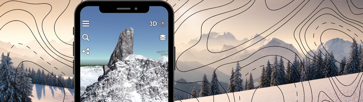
⛷️ Ski Touring App: How to Use Relief Maps for Your Winter Outings?
Ski Touring • Mountain • Tech
If you are looking for the ultimate tool to visualize your next lines and organize your winter adventures, let us introduce you to Relief Maps. Designed by enthusiasts for enthusiasts, it transforms your smartphone into a true mountain cockpit. In this article, we explain how Relief