&fill=rgba(0,0,0,0))
Flatschkofel depuis bad bergfall
Duration
—
Distance
5.993 km
Elevation
1100.0 m
 This route is provided by the Skitour.fr community. Click here to access it directly on their website.
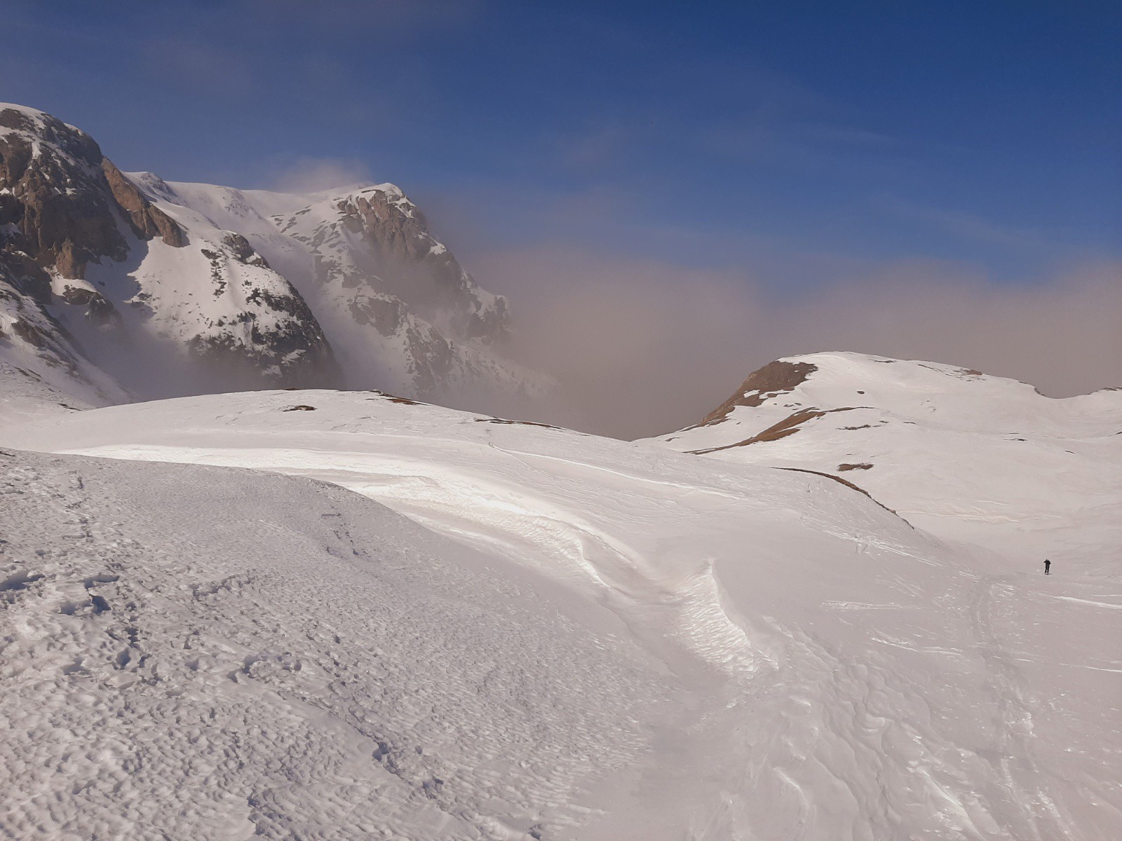
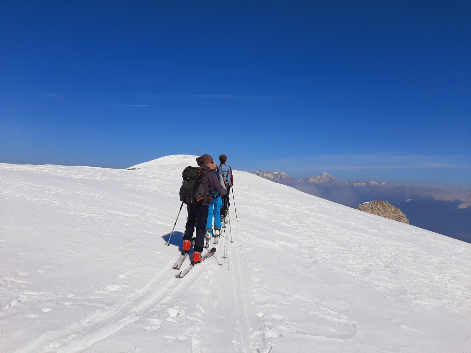
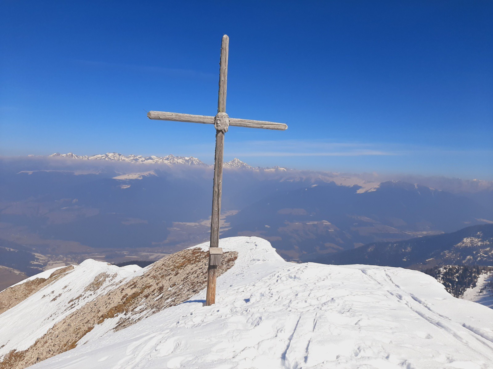
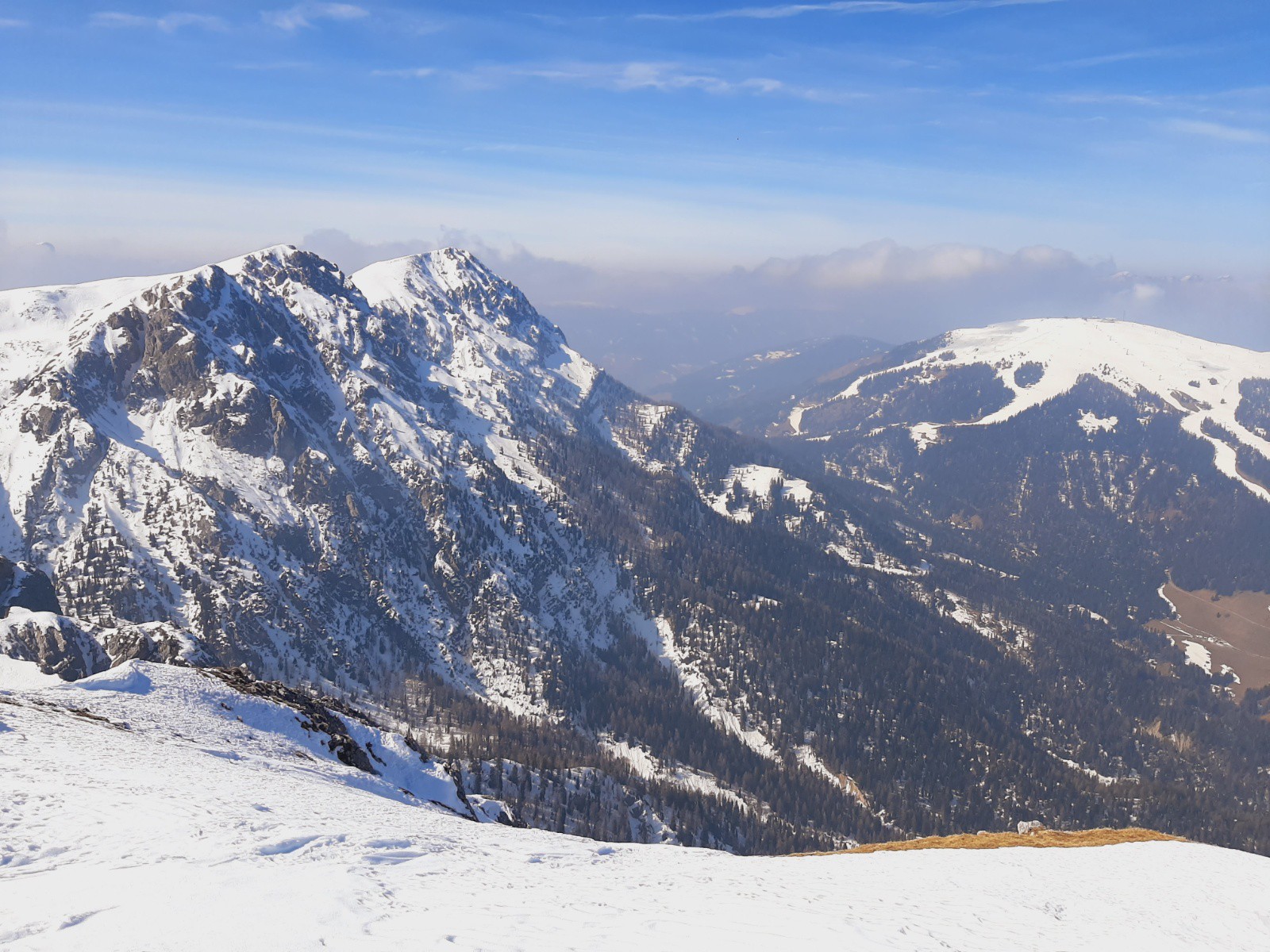
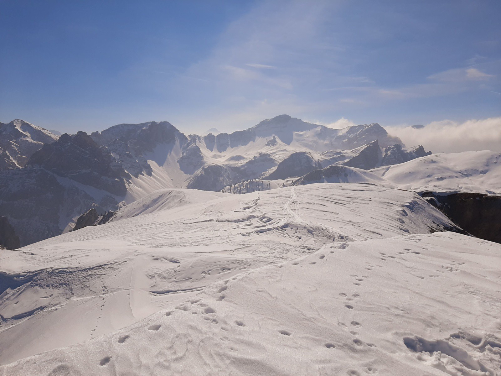

Contourner l'hôtel par la doite. Suivre l'itinéraire 32, soit en rive droite, soit en rive gauche(un pont et un gué). Poursuivre au mieux en traversant le torrent, sur une croupe en 2 ruisseau, pente raide jusqu'à atteindre la Jägerhűtte(1875m). Poursuivre plus facilement par le vallon, en sorti par une traversée au gauche pour arriver à un col.De la rejoindre la coupe et la remonter plein nord jusqu'à la croix sommitale


