&fill=rgba(0,0,0,0))
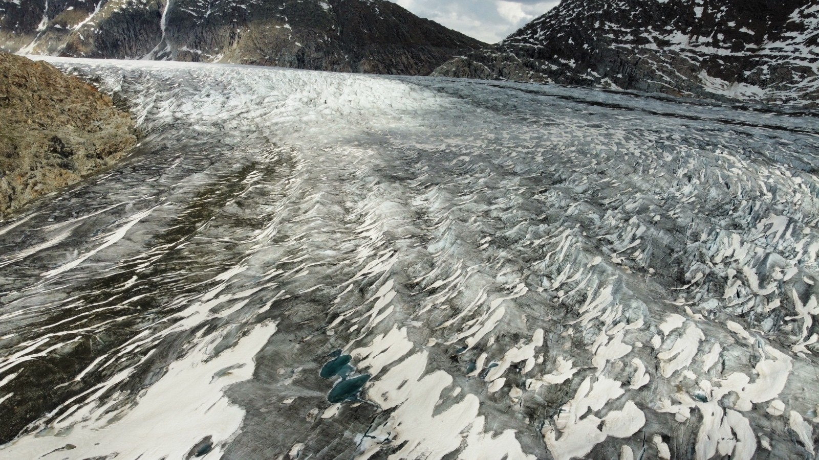
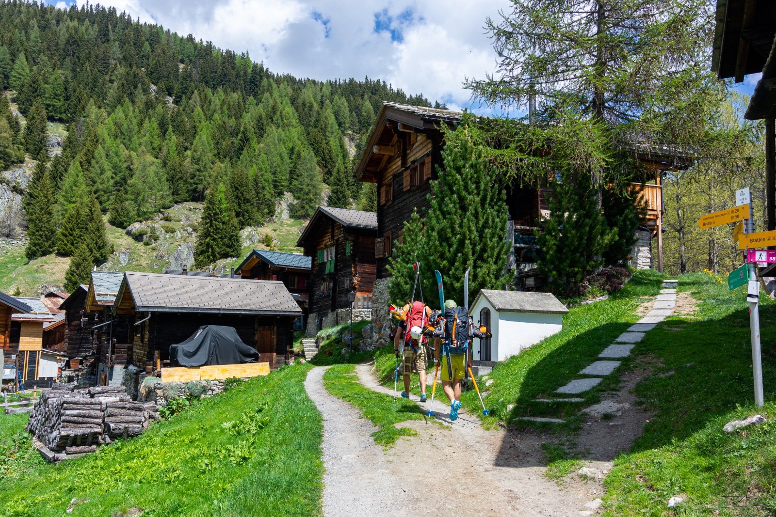
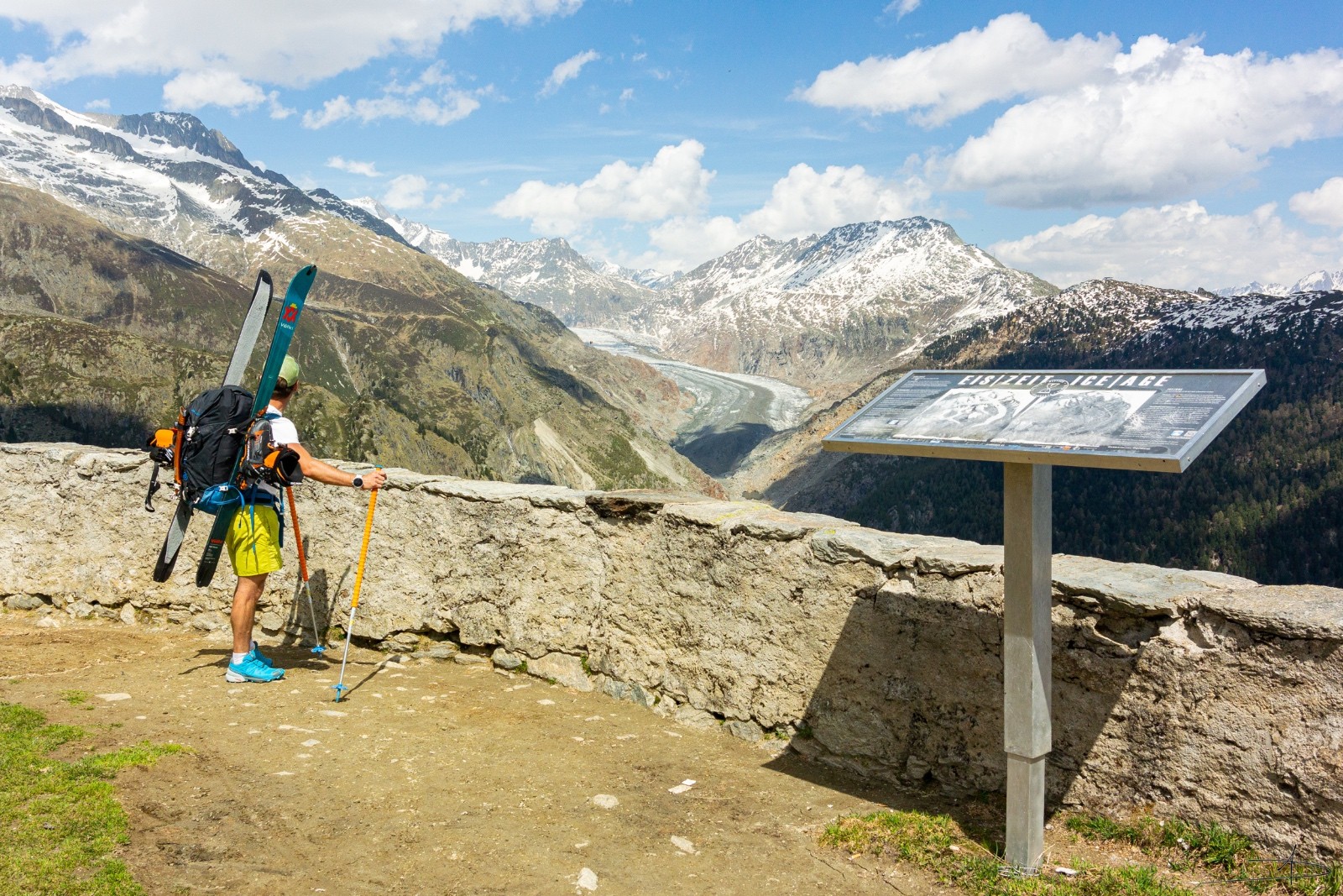
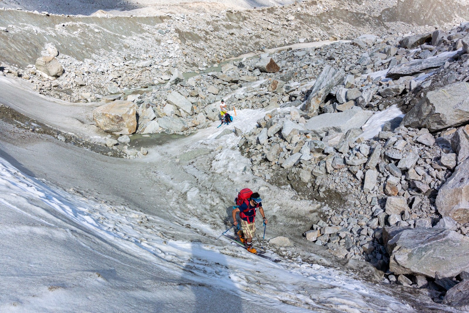
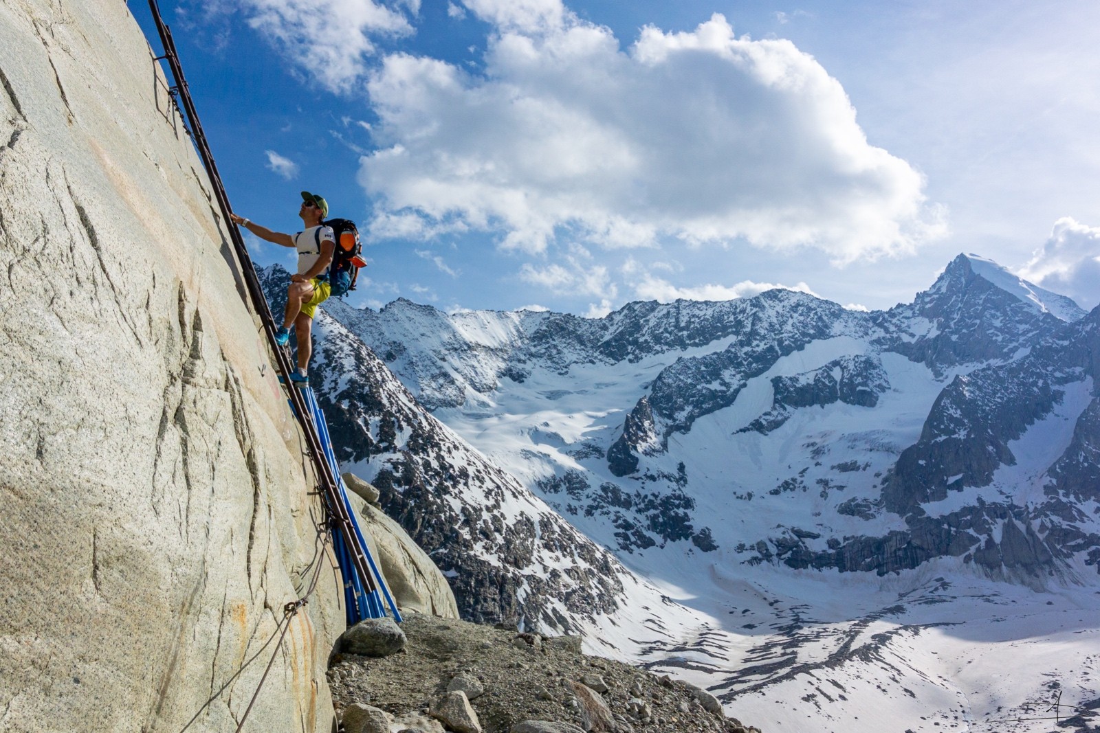
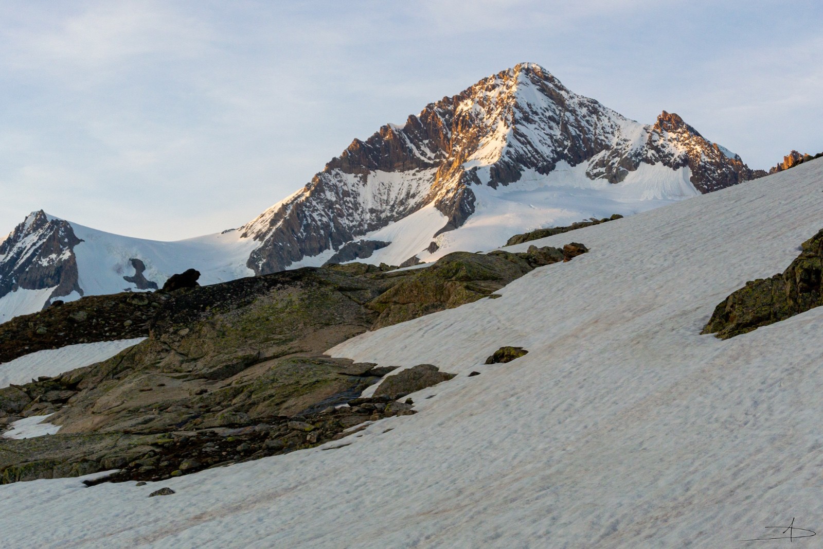
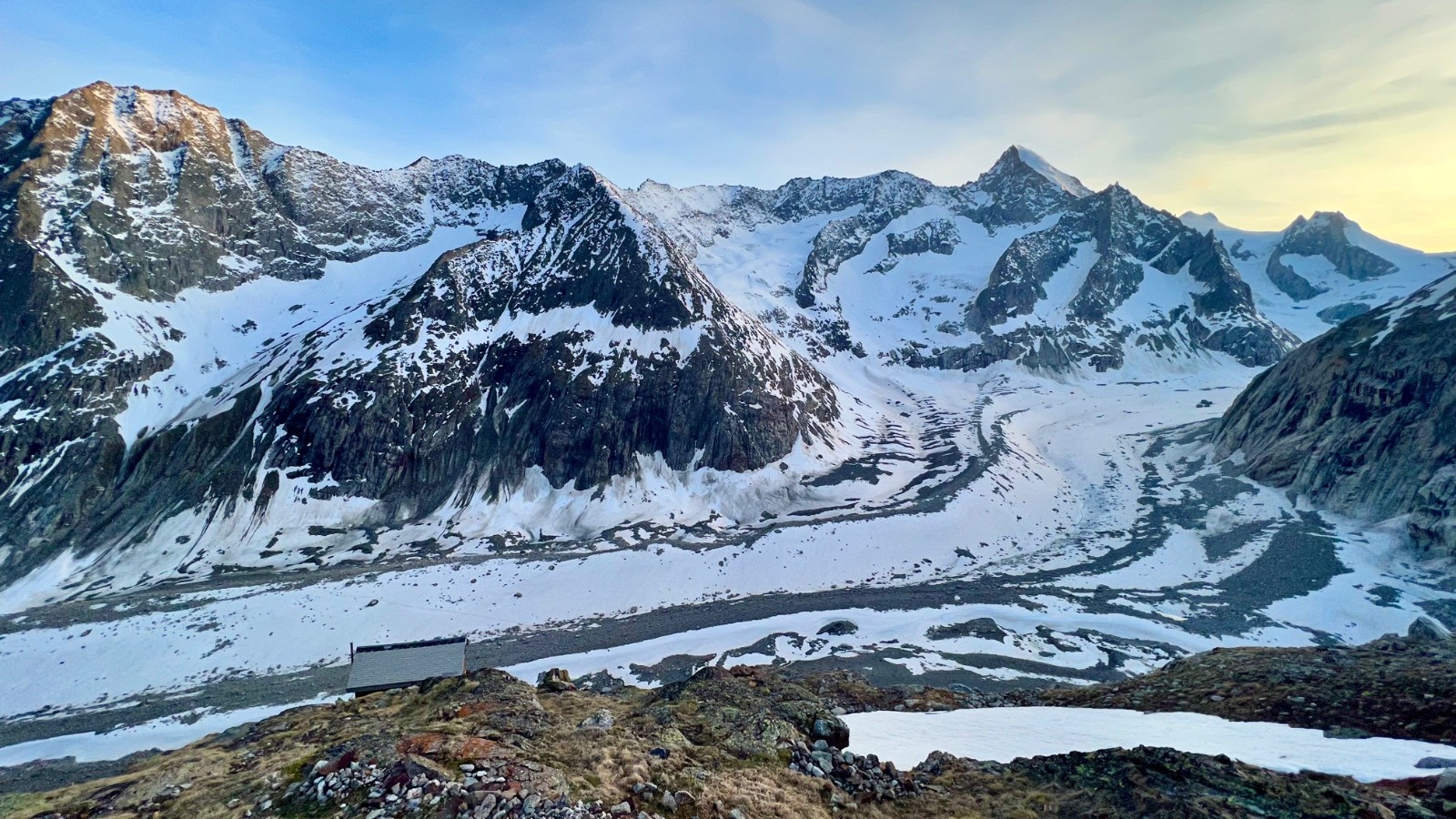
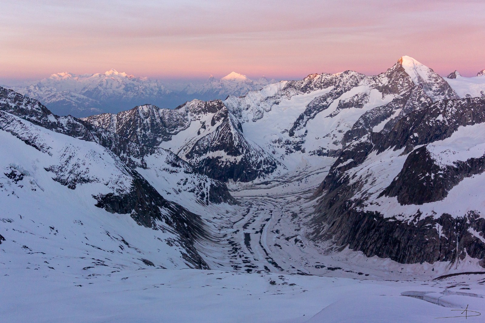
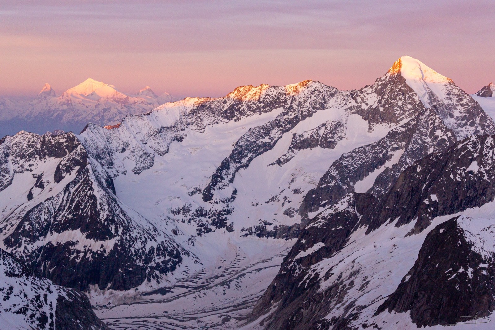
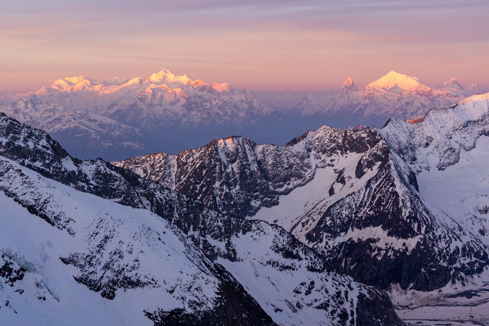
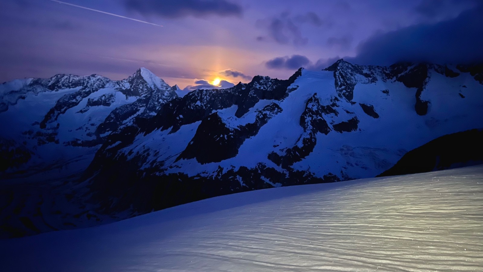
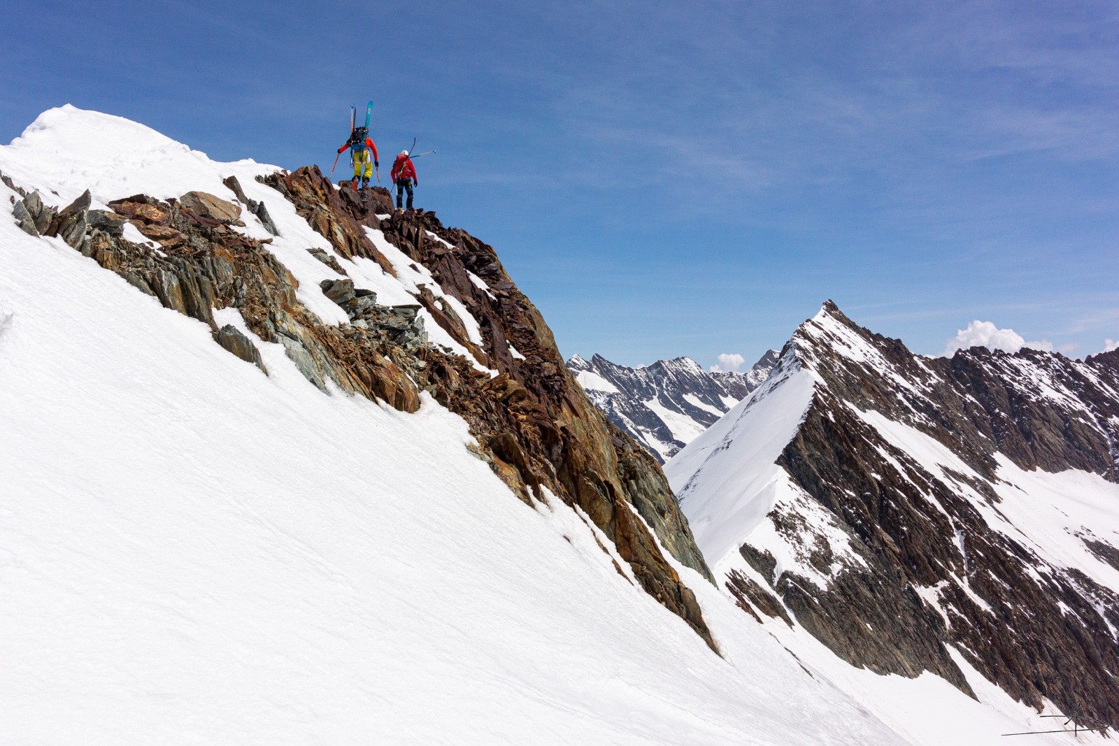
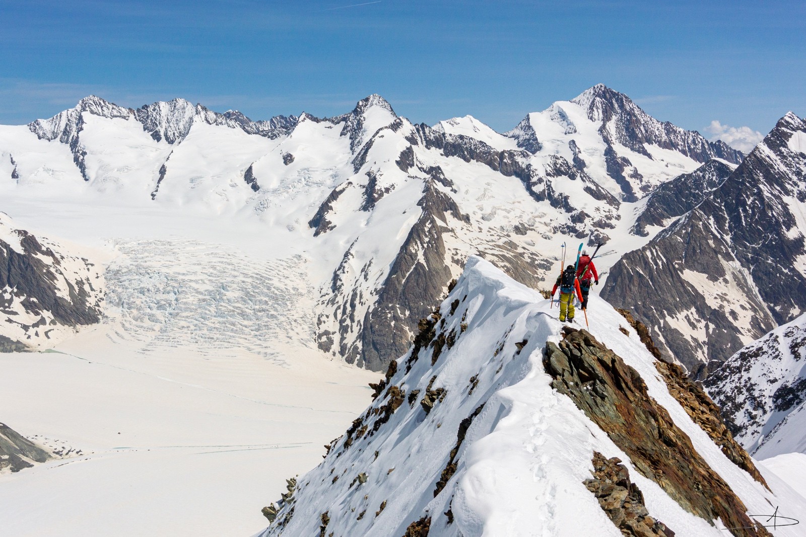
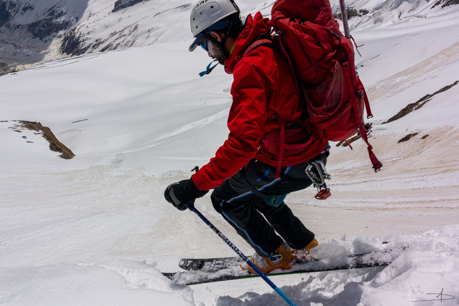
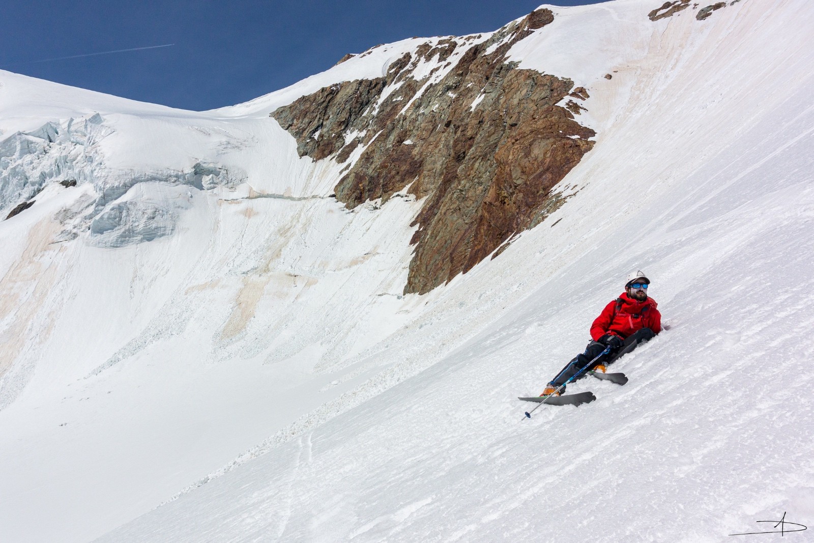
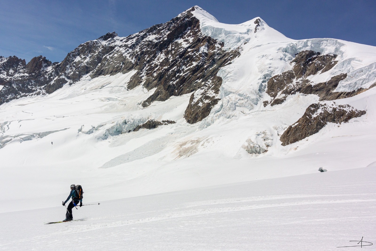
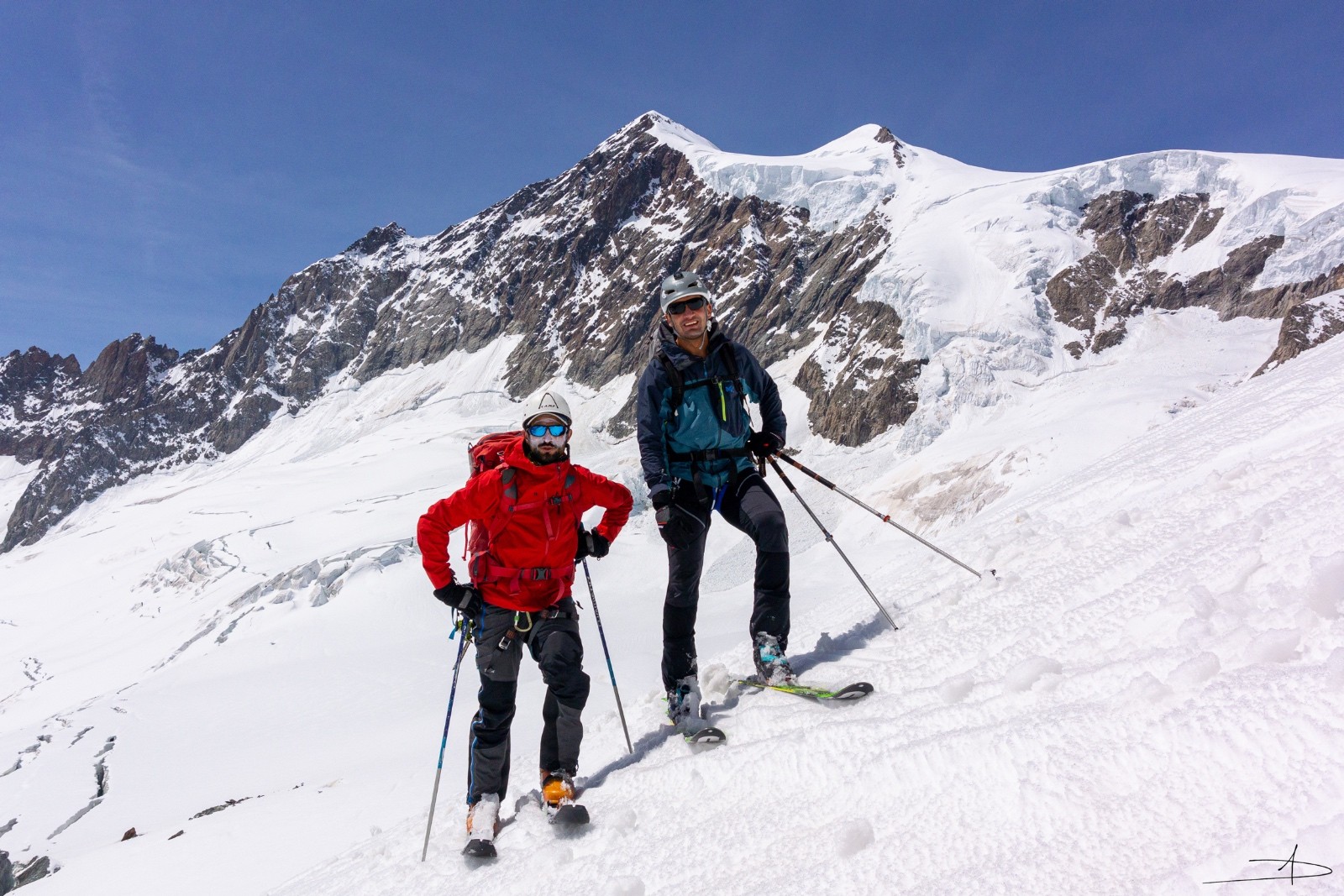
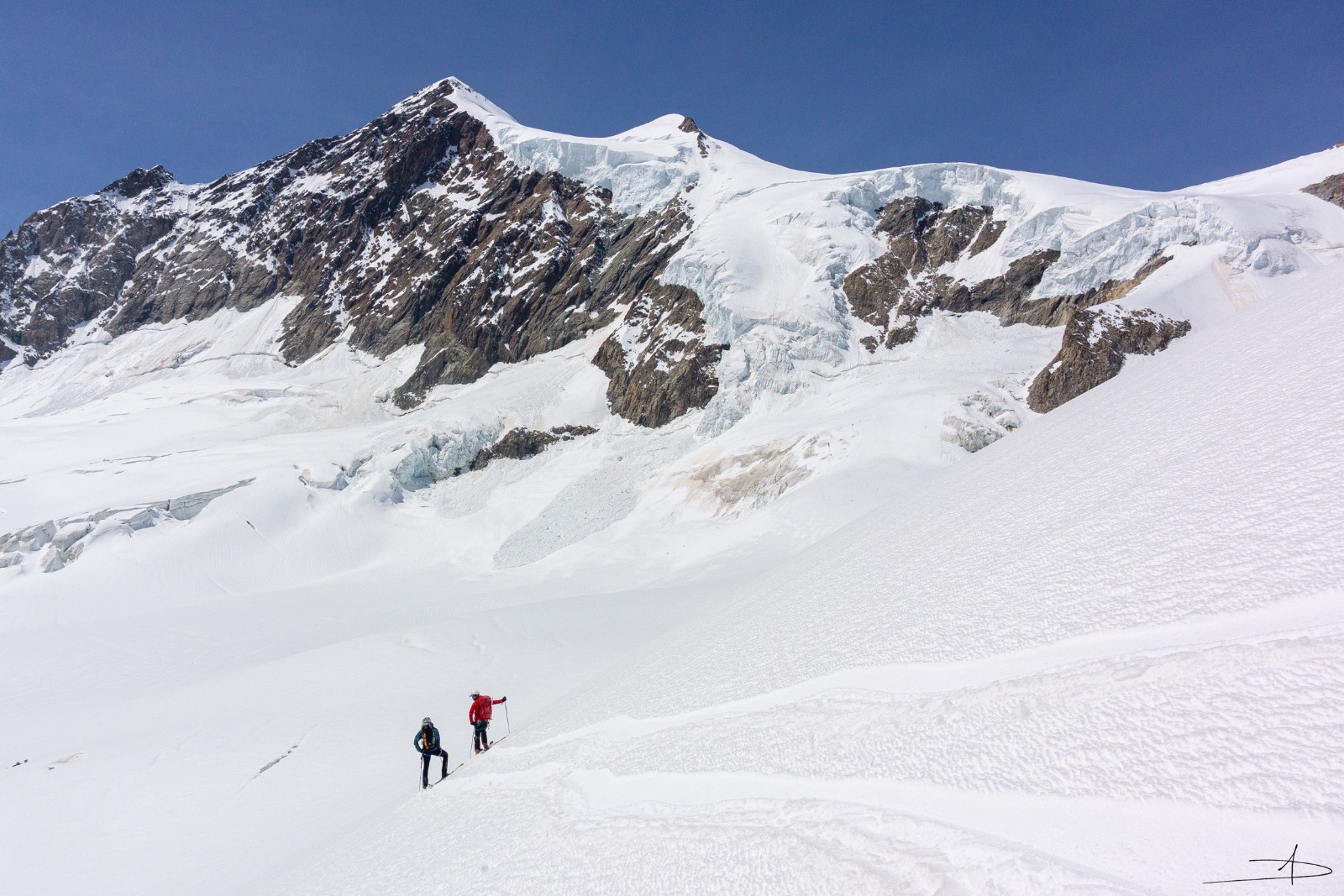
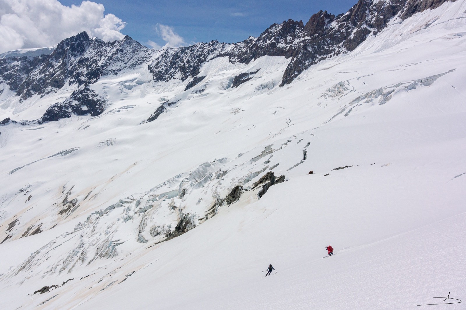
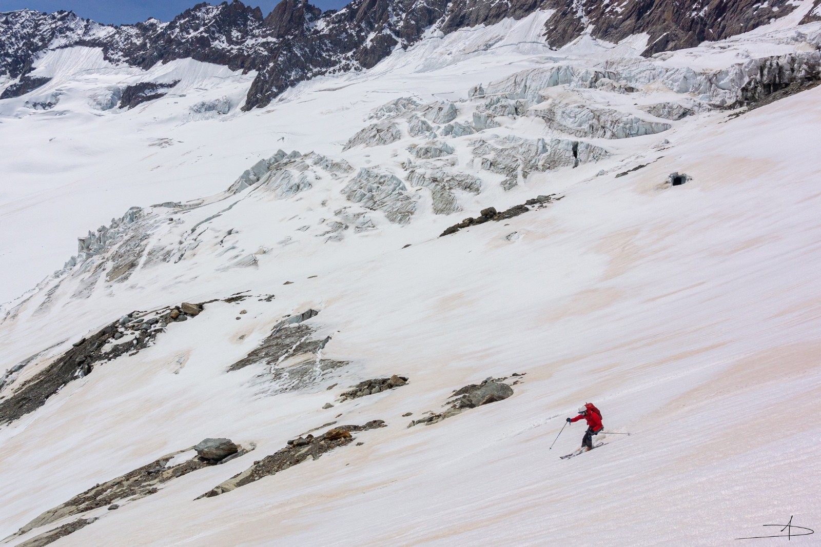
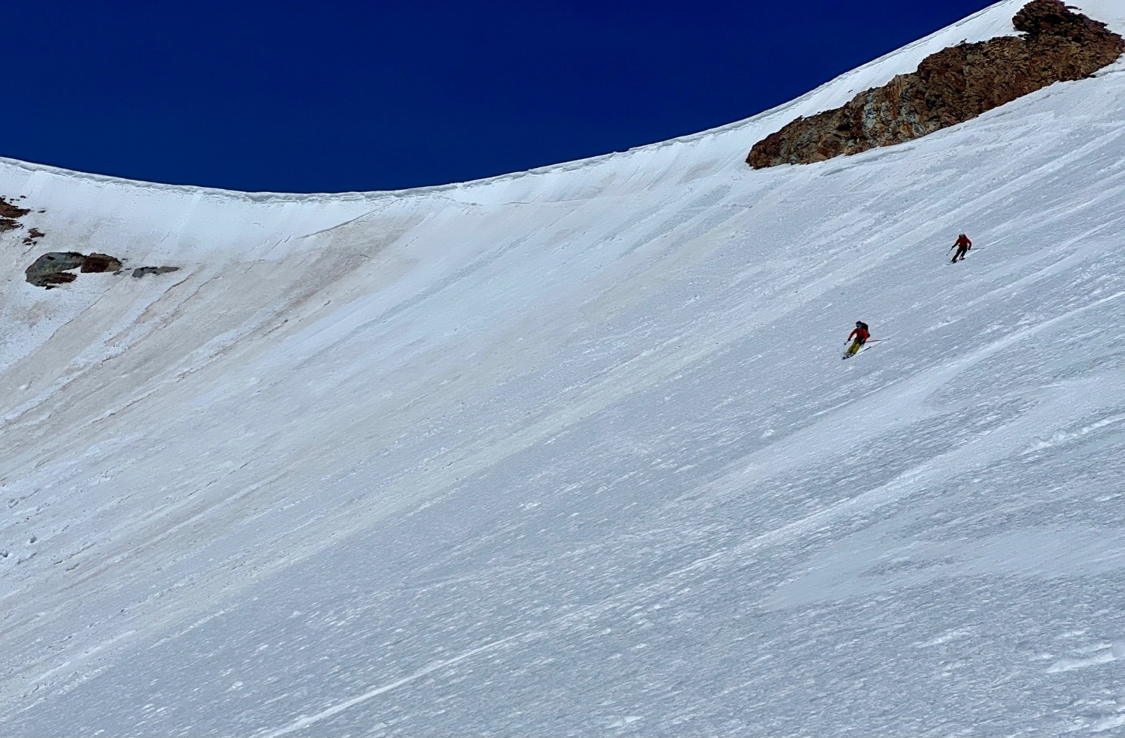
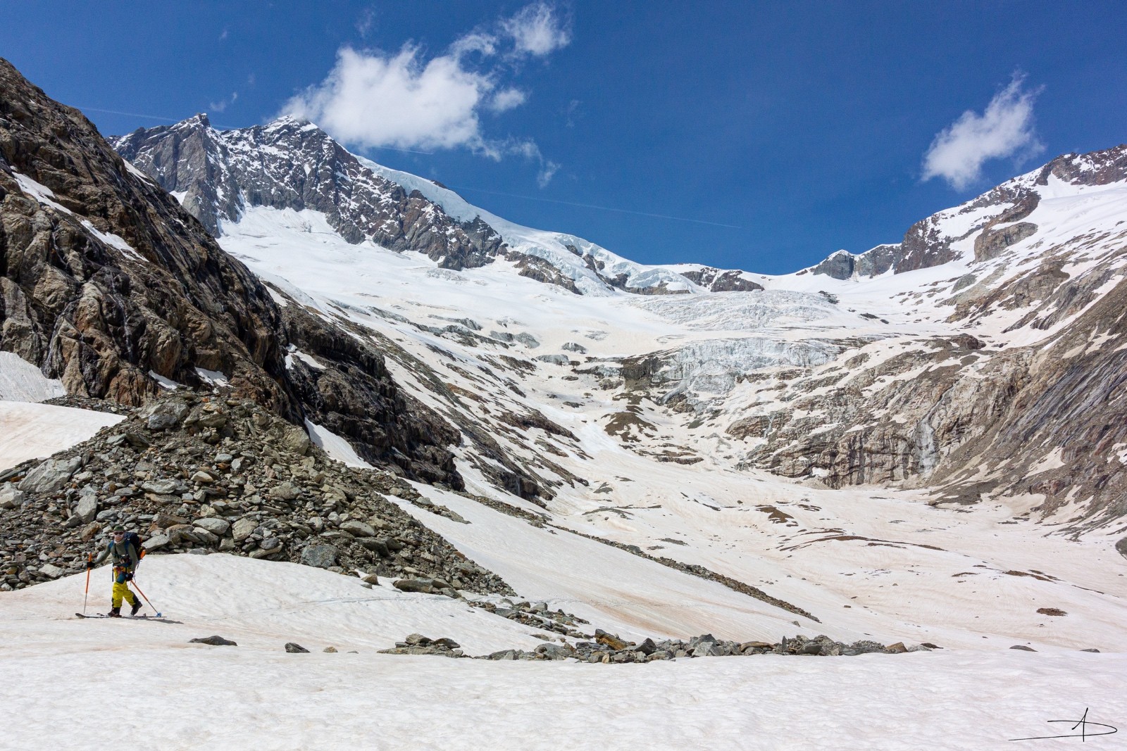
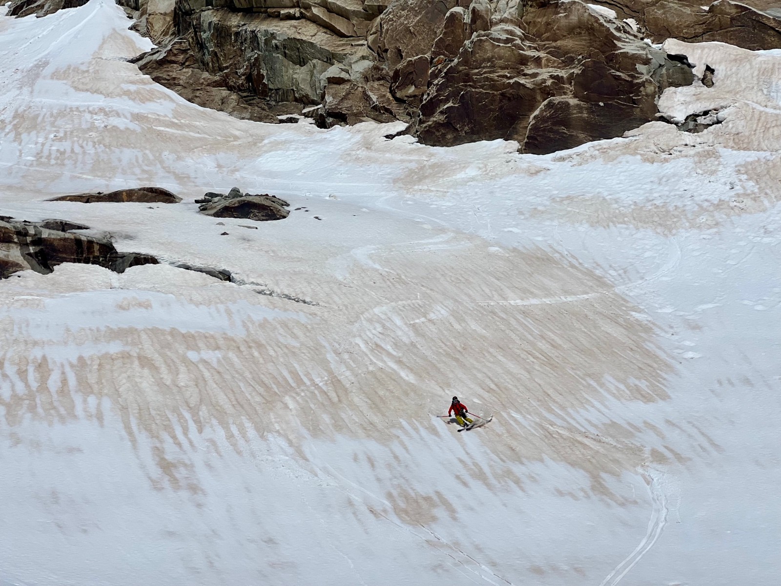
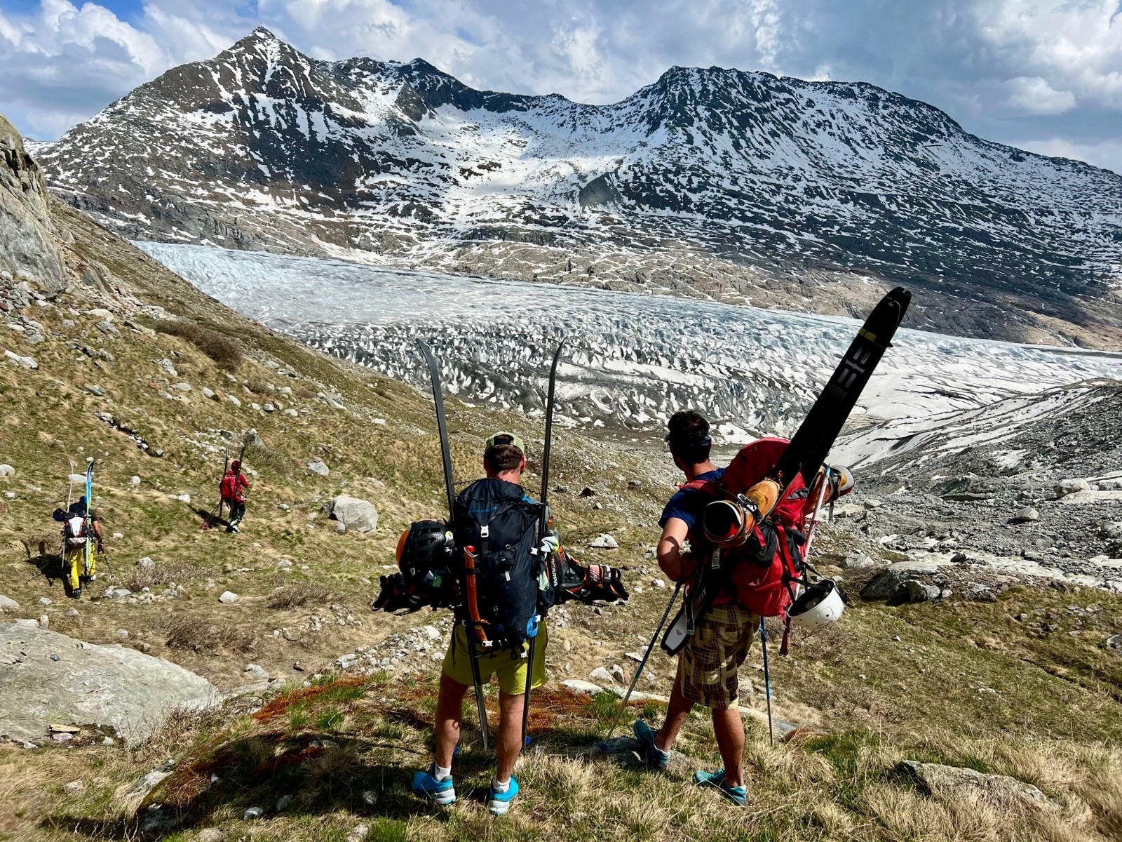
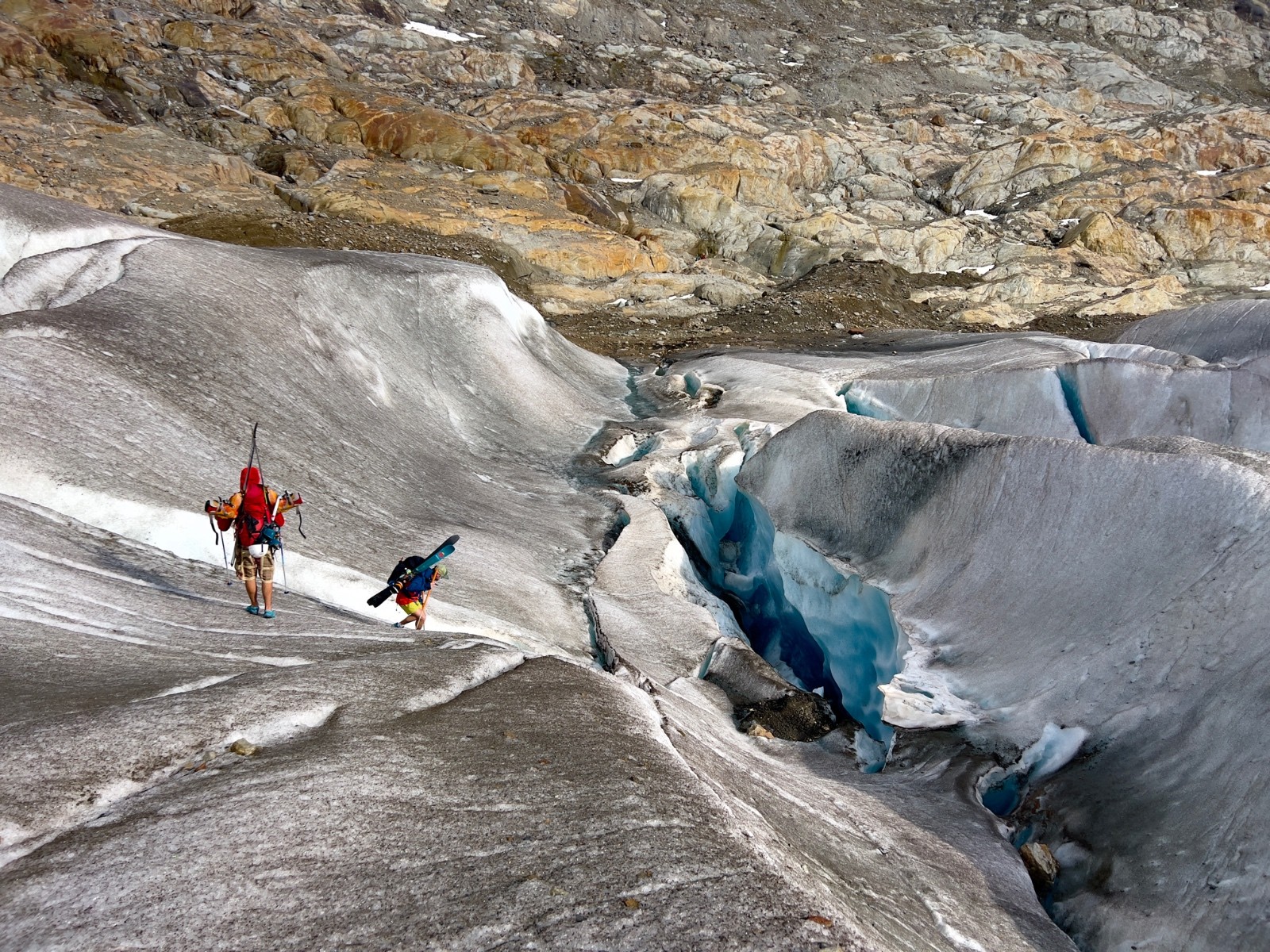
Aletschhorn arête SW depuis oberaletschhutte
Duration
—
Distance
48.17 km
Elevation
1800.0 m
 This route is provided by the Skitour.fr community. Click here to access it directly on their website.


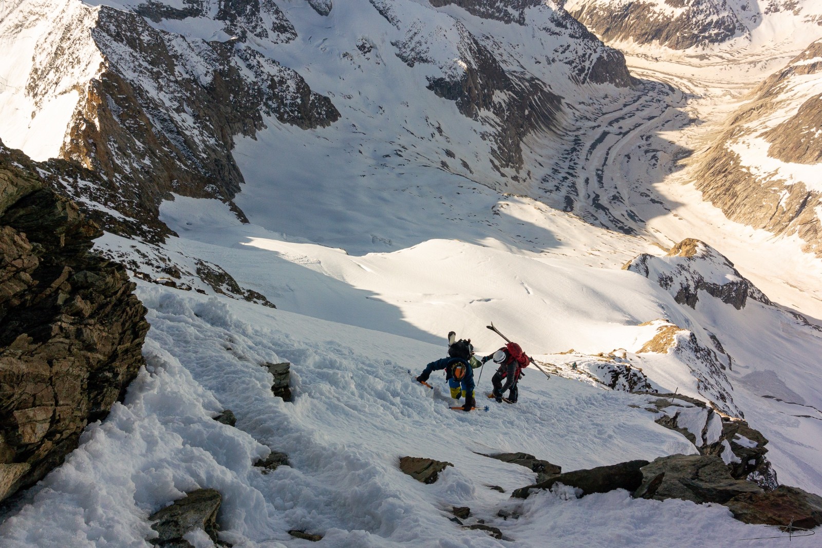
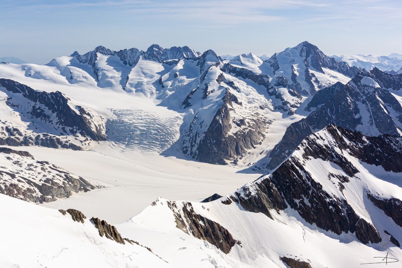
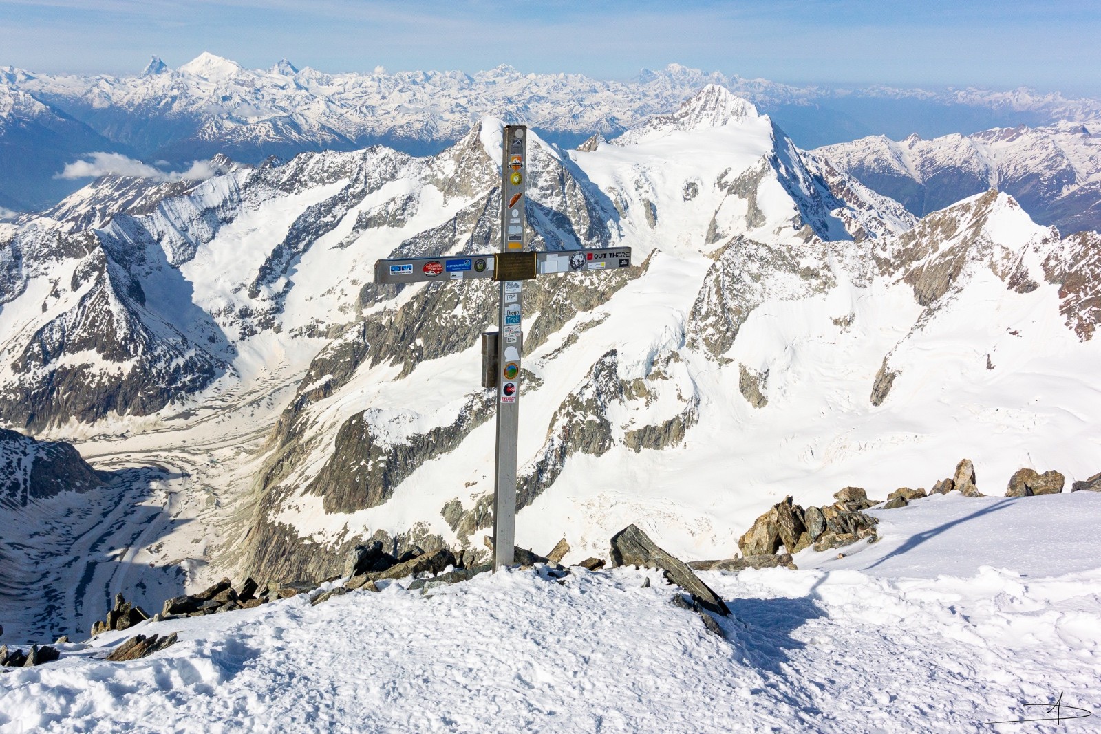
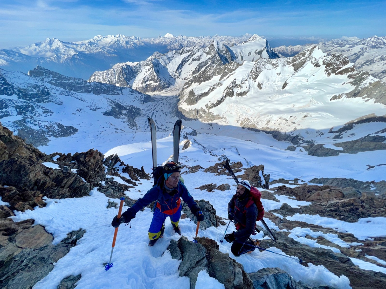
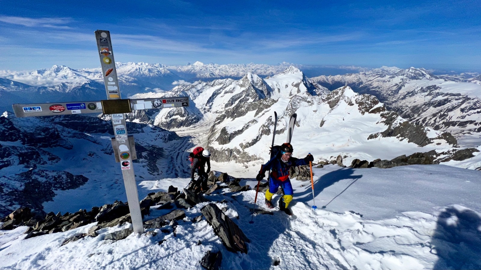
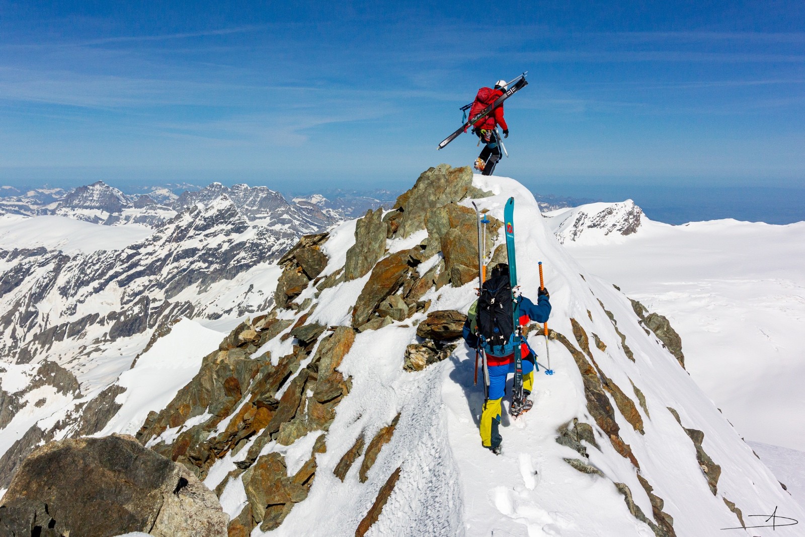
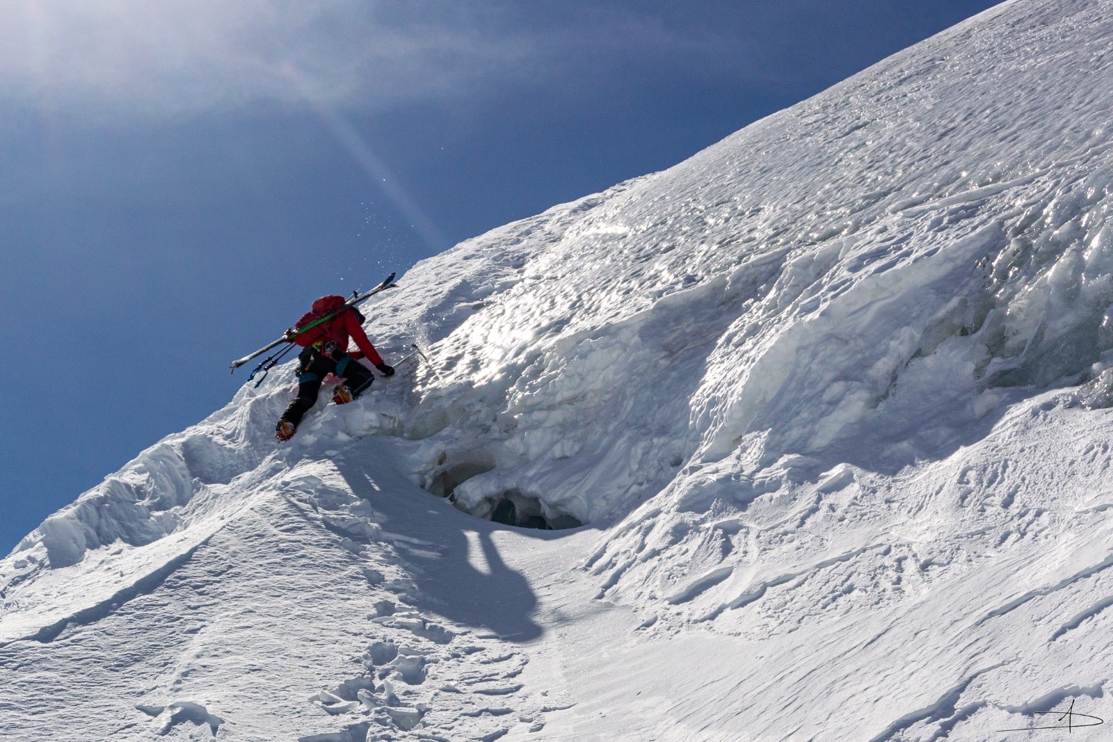
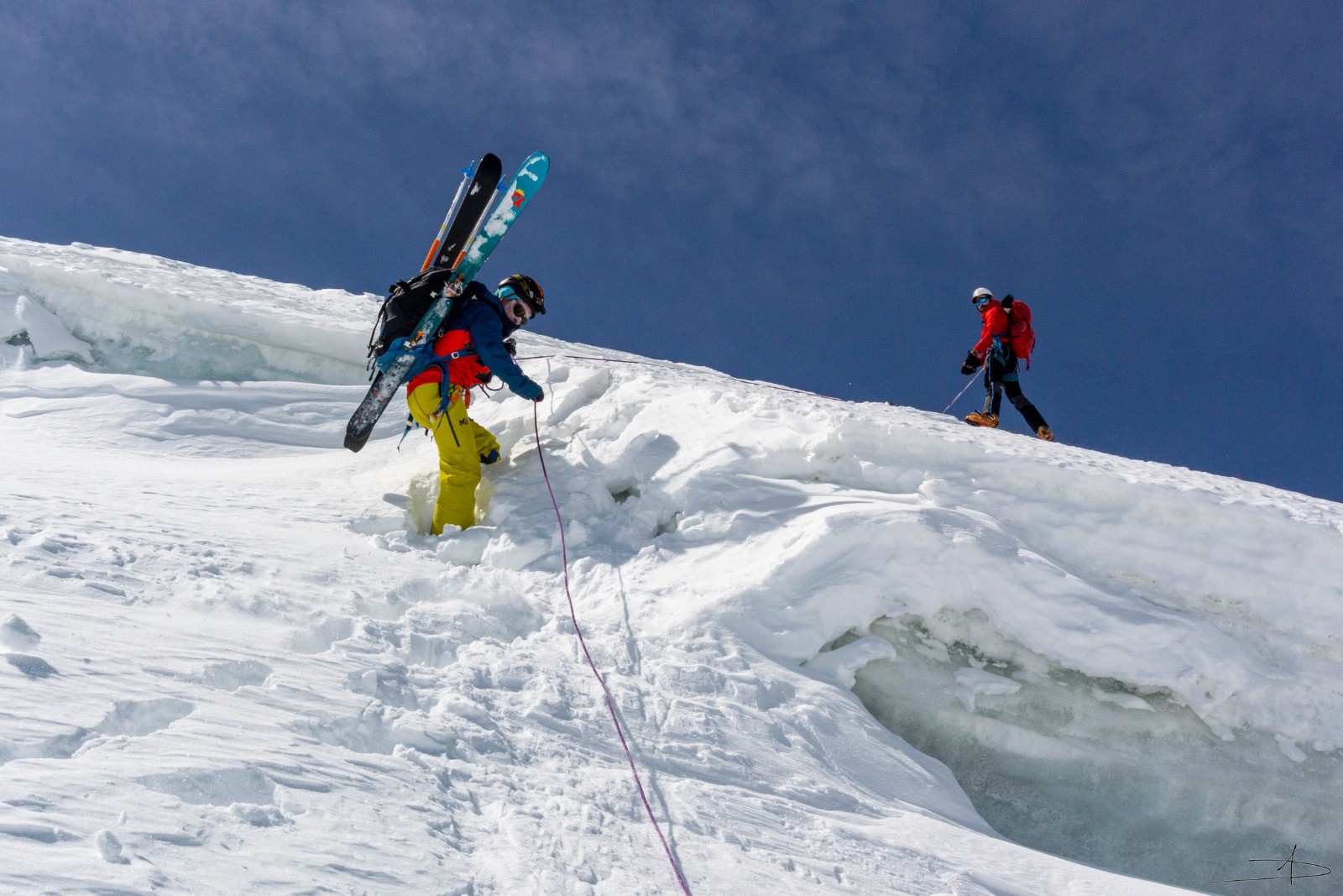


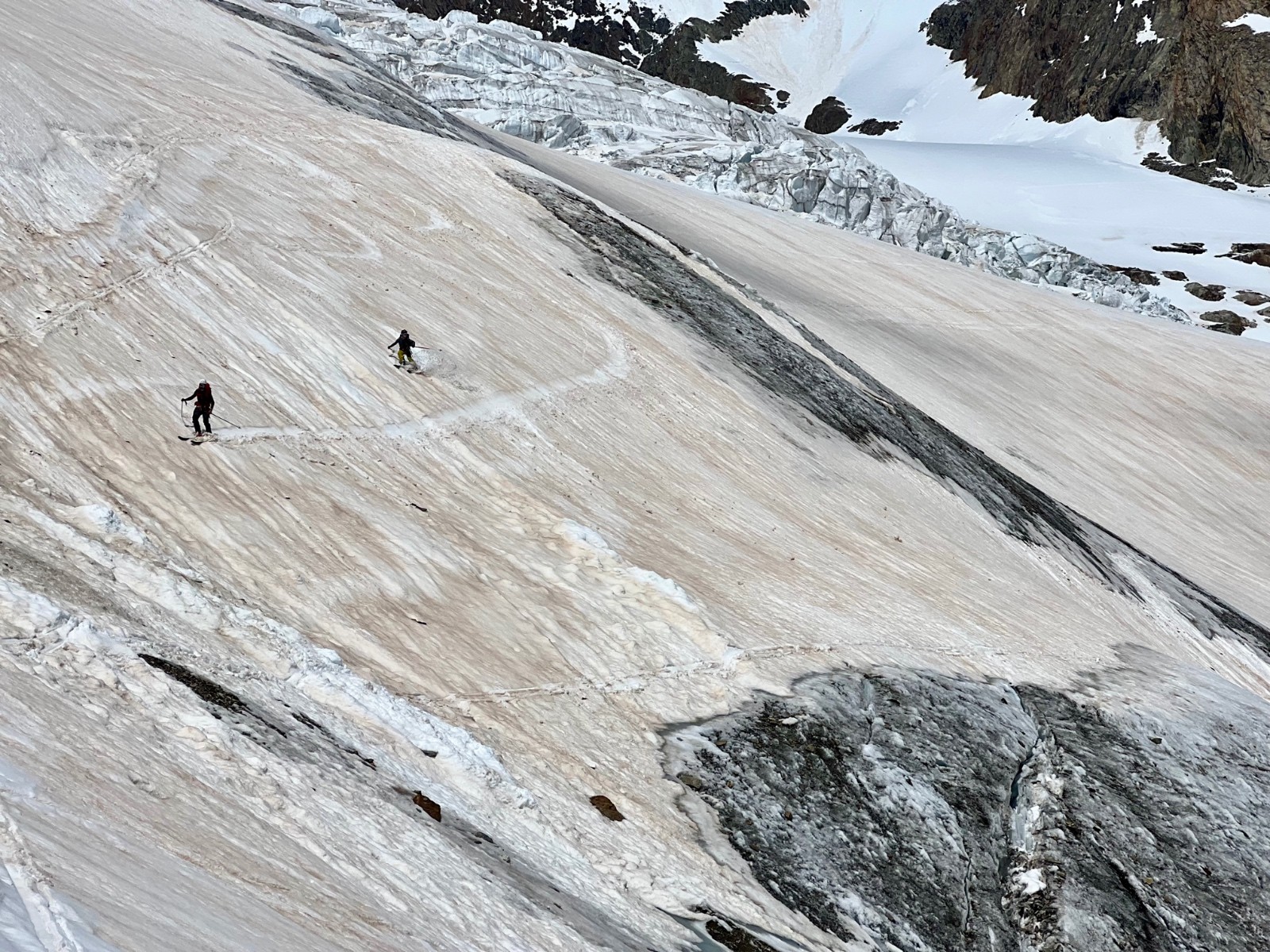
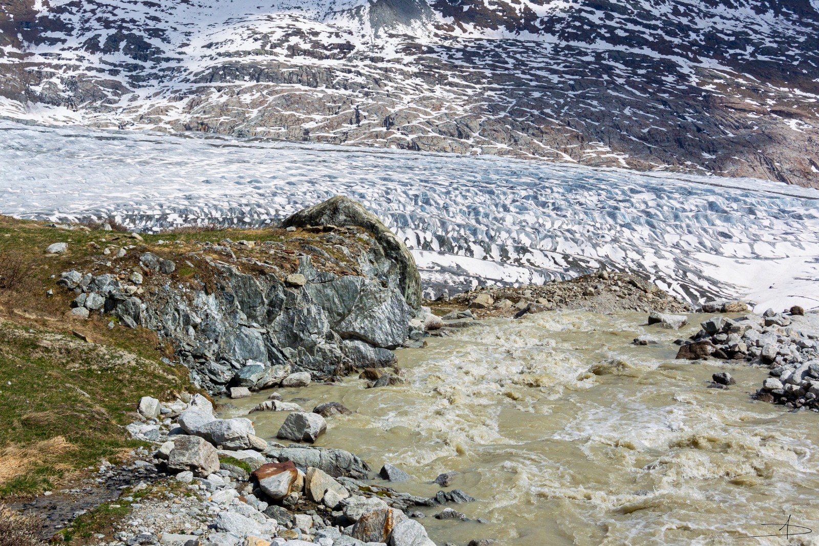

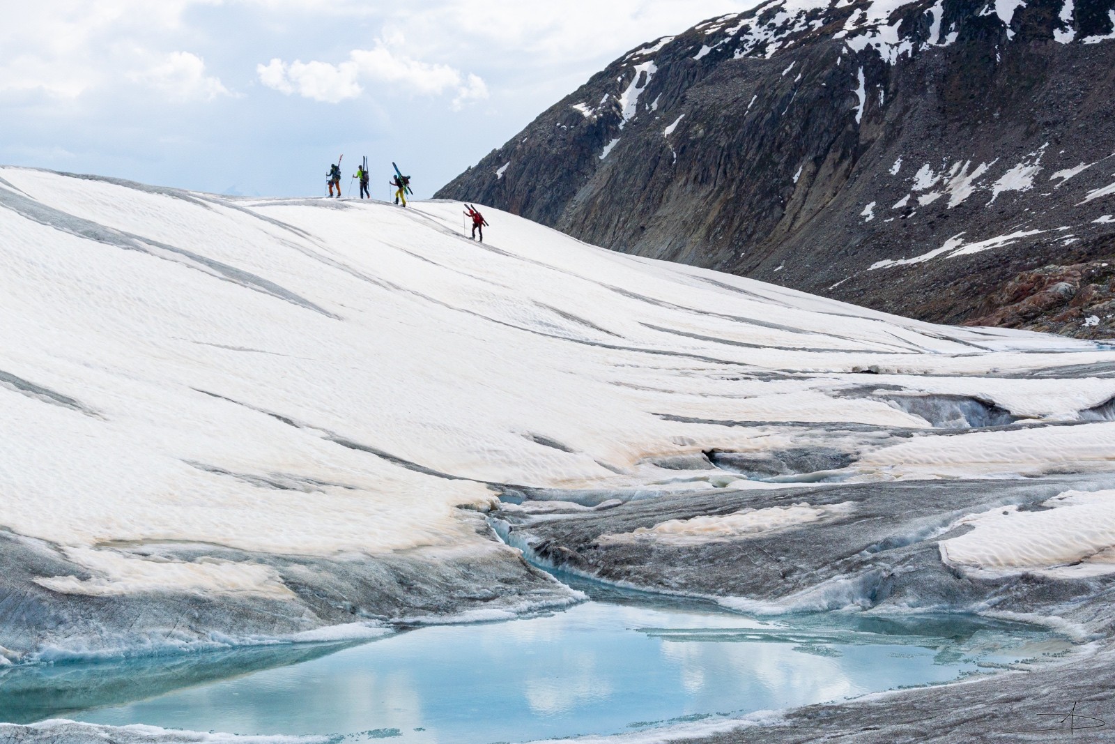
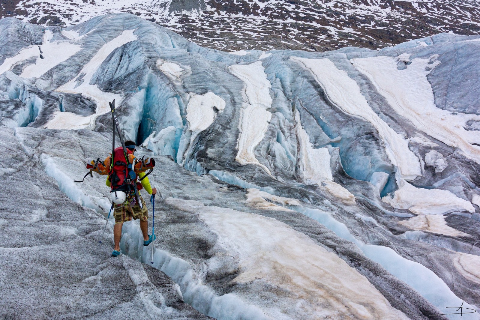
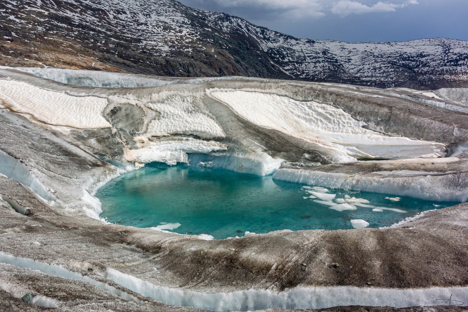
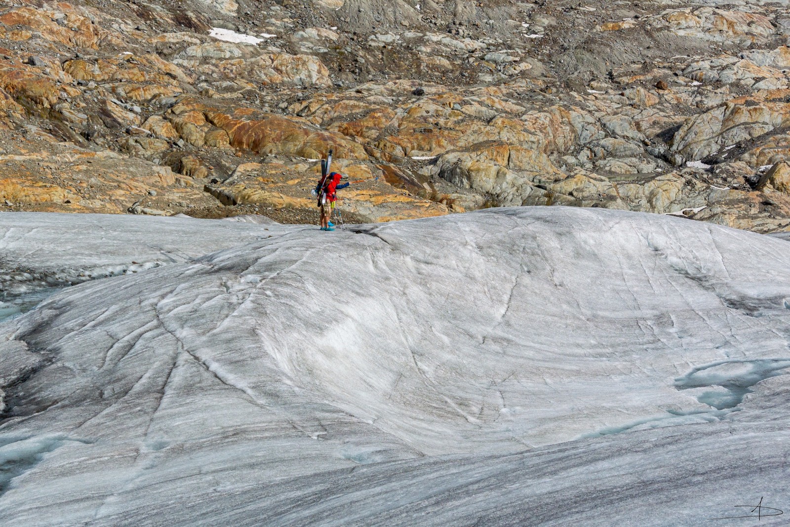
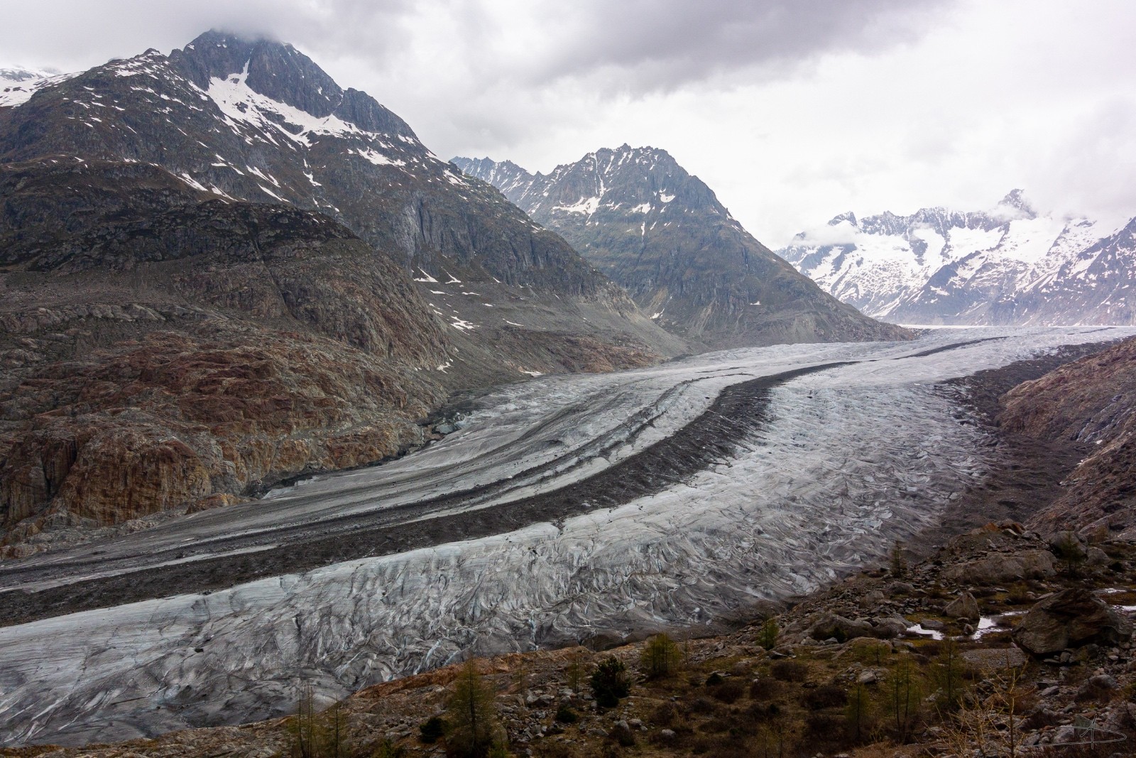


Voir photo


