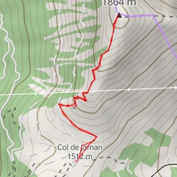
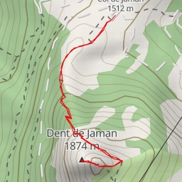
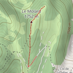
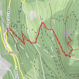
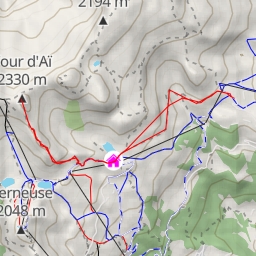
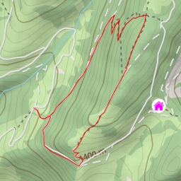
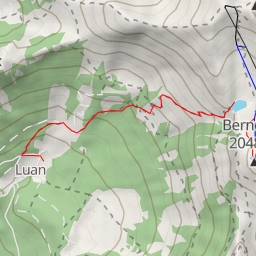
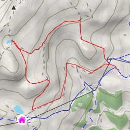
Pierre du Moëllé : Rochers de la Latte Accès pédestre
Duration
00:38
Distance
3.223 km
Elevation
m
 This route is provided by the Camp to Camp community. Click here to access it directly on their website.
[[articles/822764/fr|Info]]