&fill=rgba(0,0,0,0))
Jenkova planina depuis Vellacher Kotschna
Duration
00:36
Distance
3.052 km
Elevation
m
 This route is provided by the Camp to Camp community. Click here to access it directly on their website.
Chemin balisé et aménagé.
À la barrière à l'aire de stationnement Vellacher Kotschna, prendre la route forestière de droite, fléchage Goli (à gauche Sanntaler Sattel), puis suivre le balisage en sous-bois. Sinuer, croiser une route forestière et continuer en sous-bois.
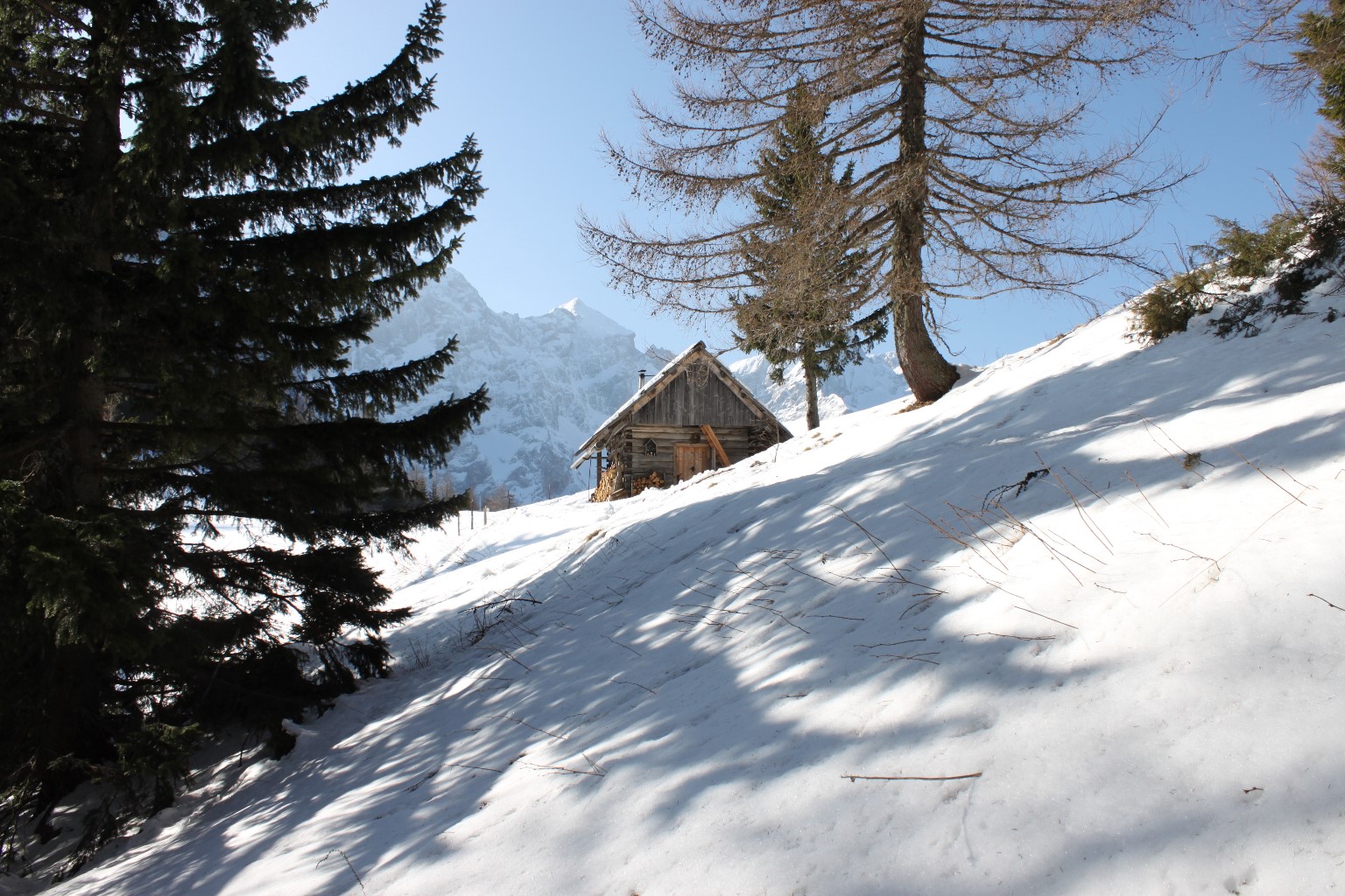
Juste avant le col, avant la cabane, un des chemins vers le sommet du Goli bifurque vers la droite (N). Prendre à gauche jusqu'à la cabane. Le col est déboisé (pâturage). Remonter vers la gauche en amont de la cabane.
Descente par le même chemin.


