&fill=rgba(0,0,0,0))
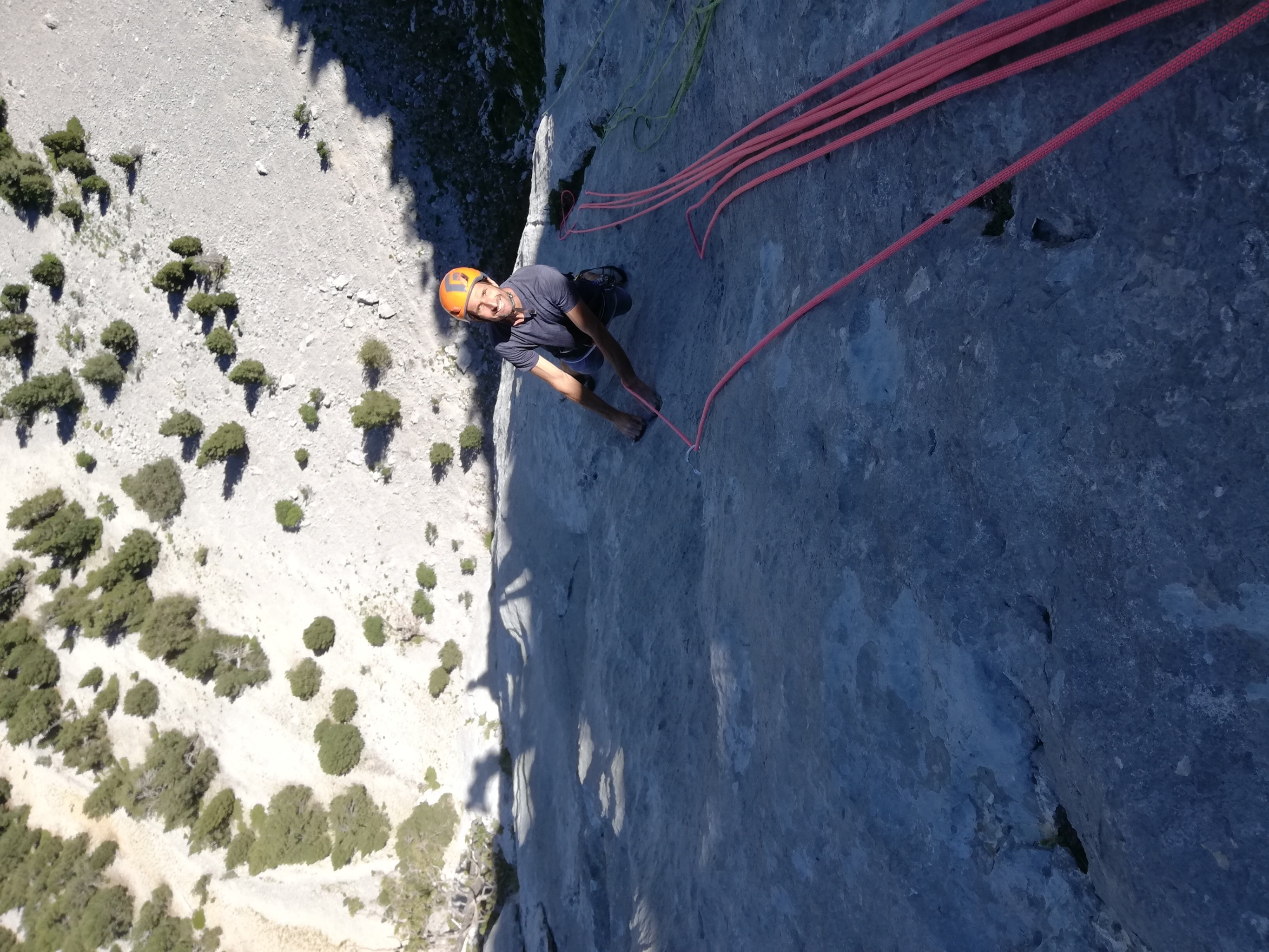
Peña Montañesa Secteur NE - voie Fantastichen
Duration
00:00
Distance
0.008 km
Elevation
m
 This route is provided by the Camp to Camp community. Click here to access it directly on their website.
##Approche
##Voie
L#| 6c+ | Petite section assez technique entre 2 spits : superbe !
L#| 6c+ | Il faut quitter la fissure pour rejoindre la dalle à gauche : très très beau.
L#| 6c | Dièdre, aucun point, se protège très bien. Superbe !
L#| 7a | Longueur assez physique : superbe !
L#| 7a | Section technique obligatoire au-dessus d'un spit : magnifique !
L#| 7a | Assez homogène pas de difficulté particulière : très très beau.
##Descente


