Relief Maps
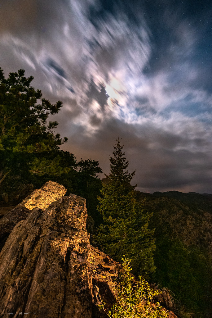
AI - Continental Divide Overlook
Duration
01:17
Distance
4.669 km
Elevation
215.0 m
Open in Relief Maps
Download GPX
All hiking routes
Other routes nearby
Flatirons Golf Course - Arapahoe Avenue - Boulder
Flatirons Golf Course - Arapahoe Avenue - Boulder
Flatirons Golf Course - Arapahoe Avenue - Boulder
West 87th Parkway
28th Street - Boulder
Kitt Pond
Flatirons Golf Course - Arapahoe Avenue - Boulder
West 82nd Avenue
&fill=rgba(0,0,0,0))