Relief Maps
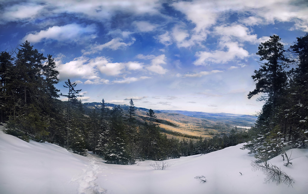
AI - Mount Wonalancet
Duration
01:41
Distance
4.941 km
Elevation
424.0 m
Open in Relief Maps
Download GPX
All hiking routes
Other routes nearby
AI - Hedgehog Mountain
AI - East Ledges
AI - Allen's Ledge
AI - Boulder Loop Trail - Albany
AI - Hedgehog Mountain
AI - Mount Wonalancet
AI - East Ledges
&fill=rgba(0,0,0,0))