Relief Maps
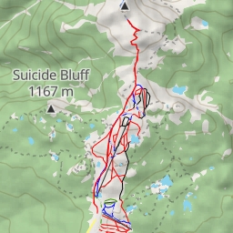
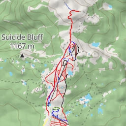
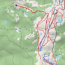
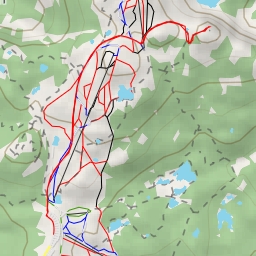
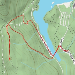
AI - South View
Duration
01:13
Distance
3.627 km
Elevation
304.0 m
Open in Relief Maps
Download GPX
All hiking routes
Other routes nearby
Mount Seymour Trail - Mount Seymour Trail
Mount Seymour Trail - Mount Seymour Trail
Suicide Bluff
De Pencier Bluff
Sugar Mountain
St. Mary's Lake
AI - Vista No. 1
AI - Cape Horn Water Pump Station No. 1 - Coquitlam