Relief Maps
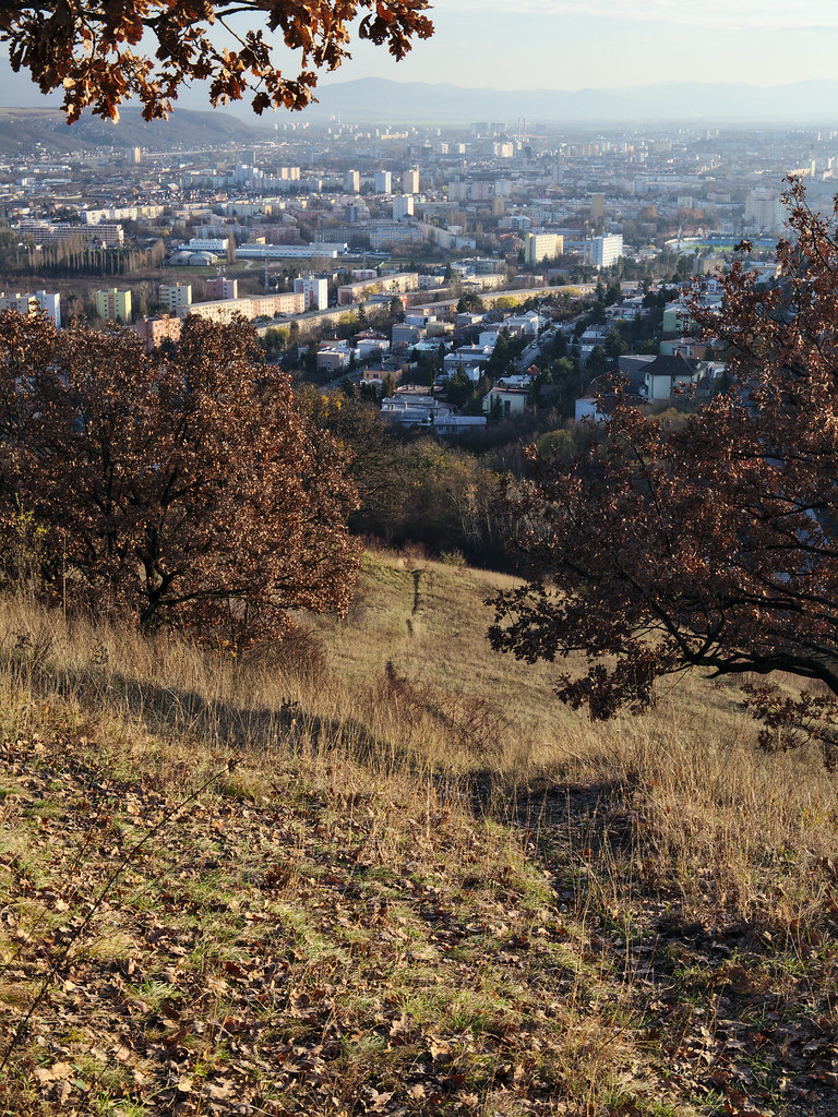
AI - Vyhliadkový mostík - Košice
Duration
00:21
Distance
1.542 km
Elevation
36.0 m
Open in Relief Maps
Download GPX
All hiking routes
Other routes nearby
Vyhliadková veža
Hrešná
Ortvaňová - Košice
Skladná - Košice
Red Fox Golf Club Malá Ida - 3405
Red Fox Golf Club Malá Ida - 3405
Zelený dvor - Košice
Hradová
&fill=rgba(0,0,0,0))