Relief Maps
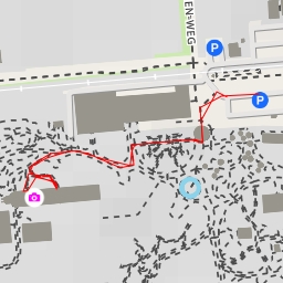
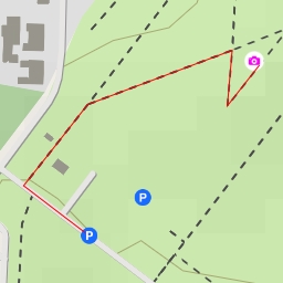
AI - Ehemalige Zeche Königsborn Schachtanlage 3/4
Duration
00:00
Distance
0.611 km
Elevation
0.0 m
Open in Relief Maps
Download GPX
All hiking routes
Other routes nearby
AI - Glaselefant
AI - Nienbrügger Berg
AI - Halde2
AI - BIKEPARK - Lippepark
AI - Ehemalige Zeche Königsborn Schachtanlage 3/4
AI - Haarweg - Fröndenberg/Ruhr
AI - Billmerich Türkenstraße Aussicht SW-W-NW und O-NO
&fill=rgba(0,0,0,0))