Relief Maps
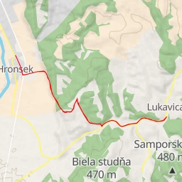
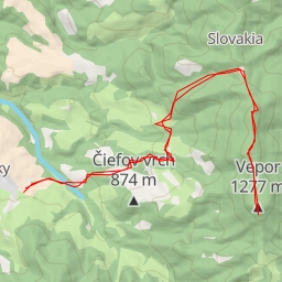
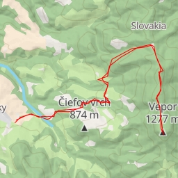
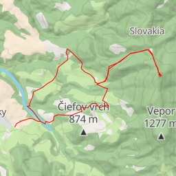
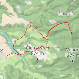
AI - Chochuľka
Duration
03:48
Distance
15.651 km
Elevation
418.0 m
Open in Relief Maps
Download GPX
All hiking routes
Other routes nearby
Lukavická
Hron
Strelnica
Valinga
Tri Vody
Vepor
Tri Vody
Hrb