Relief Maps
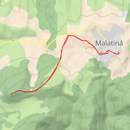
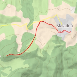
AI - Rozhľadňa Súšava
Duration
01:37
Distance
6.091 km
Elevation
246.0 m
Open in Relief Maps
Download GPX
All hiking routes
Other routes nearby
Ostroň
Ostroň
2216
2247
Osobitô
na Choč
AI - Ostrý vrch
AI - Ostrý vrch