Relief Maps
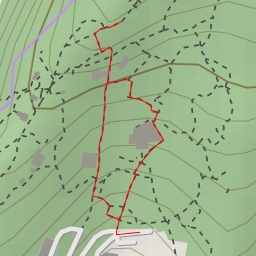
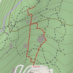
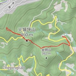
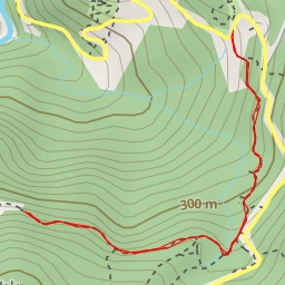
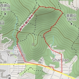
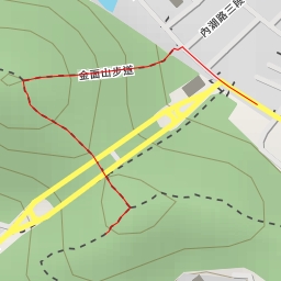
AI - 象山親山步道主線(稜線)
Duration
00:09
Distance
0.524 km
Elevation
36.0 m
Open in Relief Maps
Download GPX
All hiking routes
Other routes nearby
圓山市景步道 - 臺北市
展望點
大崙頭山北面步道 - 臺北市
圓山市景步道 - 臺北市
車坪寮崙
翠山步道 - 臺北市
金面山步道 - 臺北市
碧湖山