Relief Maps
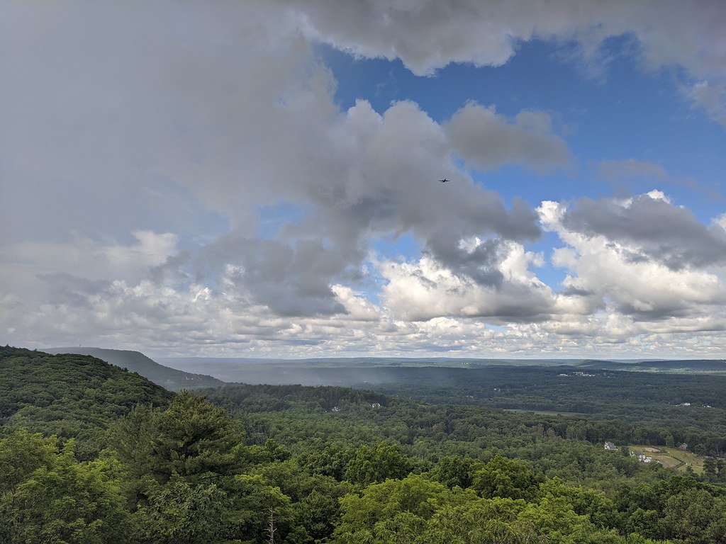
AI - Veeder Cabin Site - Bloomfield
Duration
00:44
Distance
2.82 km
Elevation
105.0 m
Open in Relief Maps
Download GPX
All hiking routes
Other routes nearby
AI - Auerfarm
AI - Bloomfield
AI - King Philip's Cave - Simsbury
AI - Heublein Tower - Avon
AI - Bloomfield
AI - Veeder Cabin Site - Bloomfield
AI - Bloomfield
AI - Roskear Farm Open Space
&fill=rgba(0,0,0,0))