Relief Maps
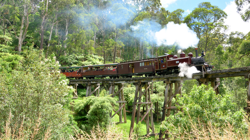
AI - Belgrave - Gembrook Road - Shire of Yarra Ranges
Duration
00:00
Distance
0.008 km
Elevation
0.0 m
Open in Relief Maps
Download GPX
All hiking routes
Other routes nearby
AI - Sherbrooke Falls
AI - Belgrave - Gembrook Road - Shire of Yarra Ranges
AI - Kurll Park Lookout
AI - Mount Morton Lookout
AI - Bunjil Walk - Shire of Yarra Ranges
AI - Duffys Lookout
AI - Cockatoo Creek rail bridge
AI - "Strwberry Corner"
&fill=rgba(0,0,0,0))