&fill=rgba(0,0,0,0))
Naedliger

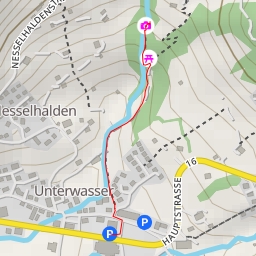
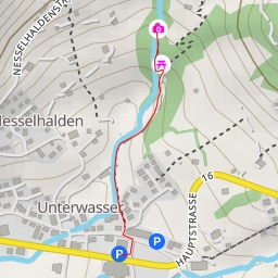
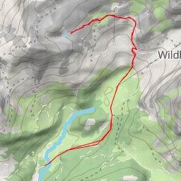
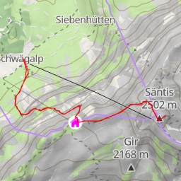
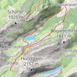
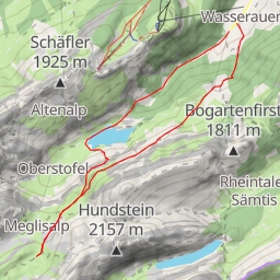
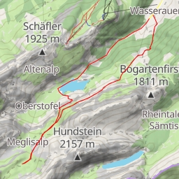
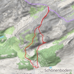
This hiking route in the Naedliger area is a challenging circular trail that covers a distance of 10.441 kilometers with an elevation gain of 1309.0 meters. The estimated duration for completing this extremely difficult hike is about 5 hours and 41 minutes.
As you embark on this adventure, you will come across several points of interest along the way. At the beginning of the trail, you will find the Gamplütbahn Talstation, a cable car station that marks the starting point of your journey. About 1.31 kilometers into the hike, there is a bench where you can take a short break and enjoy the surrounding scenery.
Midway through the trail, at 4.24 kilometers from the start, you will encounter an information point providing insights into the local area. As you continue onwards, you will reach a peak called Naedliger at 4.93 kilometers, offering panoramic views of the landscape.
Further along the path, at 4.07 kilometers from the start, you will pass by another peak known as Jöchli. Additionally, there are benches scattered throughout the trail for hikers to rest and take in the beauty of the surroundings.
It's essential to come prepared for this challenging hike by bringing an ample water supply, as the trail can be demanding. Make sure to check the weather forecast before setting out to ensure a safe and enjoyable experience.
Overall, this hiking route in the Naedliger area promises breathtaking views and a rewarding challenge for outdoor enthusiasts. Explore the diverse terrain and immerse yourself in the natural beauty of the surroundings while conquering this exciting trail.