Relief Maps
Smeathwaite
United Kingdom
›
England
›
Westmorland and Furness
Duration
02:57
Distance
7.851 km
Elevation
454.0 m
David Croad
David Croad
David Croad
David Croad
David Croad
Open in Relief Maps
Download GPX
All hiking routes
Other routes nearby
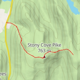
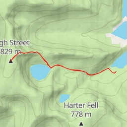
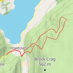
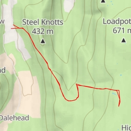
four tarn bog
Withered Howe
Loadpot Hill
Yoke
Thornthwaite Crag
High Street
Arthur's Pike
Wether Hill