&fill=rgba(0,0,0,0))
Buchenberg
Welcome to the Buchenberg hiking route!
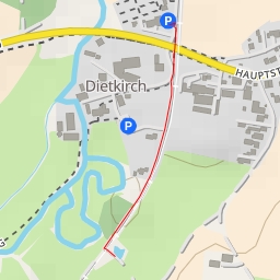
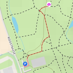
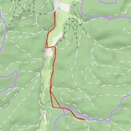
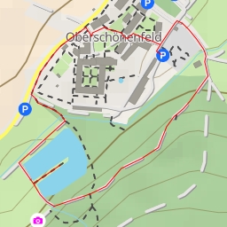
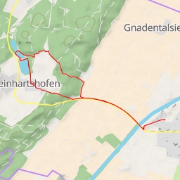
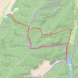
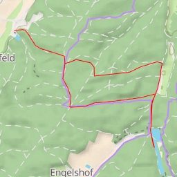
Located in a beautiful natural area, this circular trail offers a pleasant and easy hike for nature lovers. With a total distance of 4.658 kilometers and an elevation gain of 48 meters, this route is perfect for a leisurely outdoor adventure.
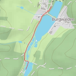
Along the way, you will come across several points of interest. At the beginning of the trail, you will find the Mühlweiher, a picturesque water feature that sets the tone for the rest of the hike. As you continue, you will pass by the Schloßweiher and Kotweiher, providing tranquil spots to rest and admire the surroundings.
For those looking to enjoy a picnic or a refreshing drink, there is a picnic site and a restaurant called Gut Walden situated near the trail, making it convenient for hikers to take a break and refuel.
The trail also features benches and drinking water stations at various points, offering comfort and convenience for hikers. Additionally, there are information points and historic sites such as wayside shrines and crosses that add a cultural touch to the hike.
For those interested in a bit of a challenge, the trail leads to peaks like Galgenberg and Buchenberg, rewarding hikers with stunning views of the area.
Before embarking on this hike, make sure to bring plenty of water, snacks, and wear appropriate footwear. It's also a good idea to check the weather forecast beforehand to ensure a safe and enjoyable experience.
Whether you're a beginner hiker or experienced outdoor enthusiast, the Buchenberg hiking route offers a delightful excursion in nature. Enjoy the tranquility and beauty of this scenic trail!