&fill=rgba(0,0,0,0))
Burgstallberg
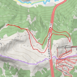
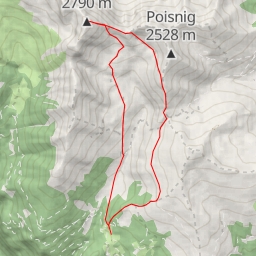
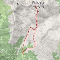
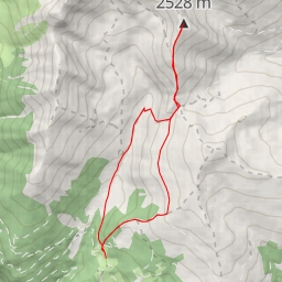
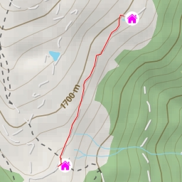
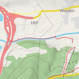
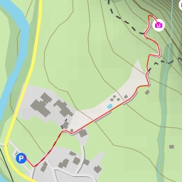
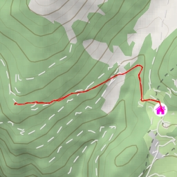
This hiking route takes you through the scenic area surrounding Burgstallberg. The trail is 12.128 kilometers long with an elevation gain of 538 meters, making it an extremely difficult hike that will challenge even experienced hikers.
As you start your journey, you will come across Lieser, a picturesque water feature located 1.84 kilometers from the beginning of the trail. Further along the route, at the 0.16 kilometer mark, you will find Kärntner Grenzweg, an informational point that provides insights into the area's history and geography.
One of the highlights of the hike is reaching Burgstallberg, a peak located 6.06 kilometers from the starting point. The summit offers breathtaking panoramic views of the surrounding landscapes, making it a perfect spot to take a break and soak in the beauty of nature.
Before embarking on this challenging hike, make sure to pack plenty of water, snacks, and weather-appropriate clothing. It's also advisable to check the forecast beforehand and be prepared for changing weather conditions.
Overall, this out-and-back route to Burgstallberg promises a rewarding and exhilarating hiking experience for those seeking a strenuous adventure in the great outdoors.