&fill=rgba(0,0,0,0))
Tosc


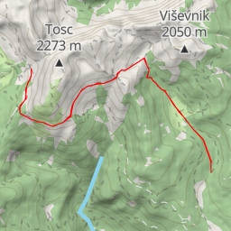
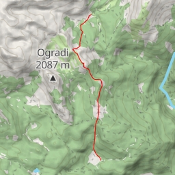
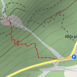
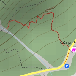
Located in a rugged and scenic area, the hiking route to Tosc offers an extreme challenge for experienced hikers. Covering a distance of 13.599 kilometers with an elevation gain of 986 meters, this route is not for the faint of heart.
Starting at the trailhead, hikers will pass by Studorski preval (saddle) around 3.76 kilometers into the hike. This natural formation provides a picturesque view of the surroundings. Further along the trail at approximately 2.98 kilometers from the start, hikers will encounter a refreshing spring to replenish their water supply.
As the hike progresses, hikers will come across a wayside cross at 1.43 kilometers from the start, adding a touch of historical significance to the journey. Bench seating is available at various points along the trail, including one at 5.18 kilometers from the start and another at 2.9 kilometers from the start for resting and taking in the views.
The route continues towards the peak of Tosc, located at 6.8 kilometers from the start, offering a panoramic viewpoint of the surrounding landscape. A bench is conveniently placed nearby to relax and enjoy the scenic vista.
Hikers should be prepared for a strenuous journey, as the trail is rated as extremely difficult due to its length and elevation gain. It is crucial to bring an adequate water supply, snacks, and to check the weather forecast before embarking on this challenging hike.
Remember to respect the natural environment and leave no trace behind. With proper preparation and a sense of adventure, hikers can experience the beauty and thrill of the Tosc hiking route.