Salga
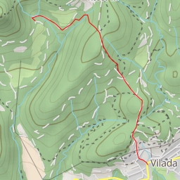
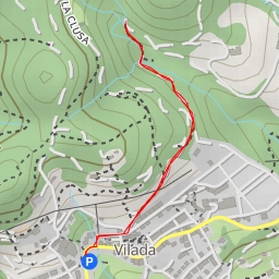
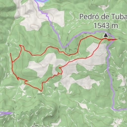
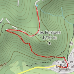
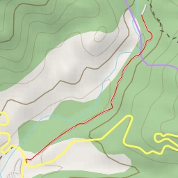
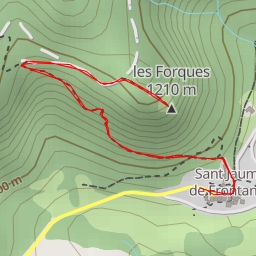
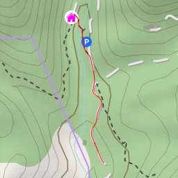
This challenging circular hiking route in the Salga area covers a distance of 6.982 kilometers with an elevation gain of 525.0 meters, and is expected to take around 2 hours and 55 minutes to complete.
Starting at the parking area, hikers will first come across some informative points of interest just 0.15 kilometers into the trail. These spots provide valuable information about the surroundings. The trail then leads to various significant locations such as the Serrat dels Teixons peak at 2.37 kilometers from the start, the Collet del Llop saddle at 2.34 kilometers, the Collet de la Llebre saddle at 2.88 kilometers, and the Salga peak at the same distance. These points offer stunning panoramic views and opportunities to take in the natural beauty of the area.
Hikers will also encounter the La Portelleta saddle at 2.07 kilometers from the start where the terrain provides a unique and interesting challenge. Additionally, there are water sources nearby (125.22 meters from the trail) for hikers to refill their bottles and stay hydrated along the way.
Due to the length of the trail and significant elevation gain, this hike is considered difficult and suitable for experienced hikers. It is advisable to bring an adequate water supply, wear proper hiking gear, and check the weather forecast before setting off on this adventure.
Overall, this route promises a rewarding experience for those seeking a strenuous hike with breathtaking views of the Salga area.