Camino Real de la Sierra - Camino Real de la Sierra
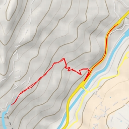
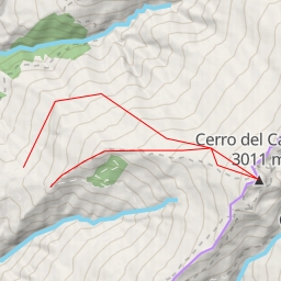
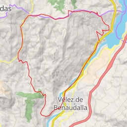
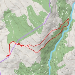
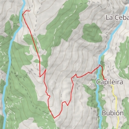
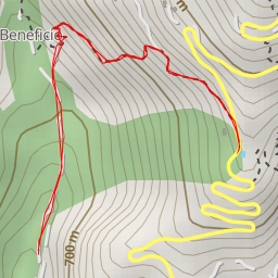
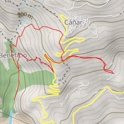
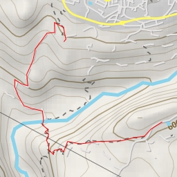
Welcome to the Camino Real de la Sierra hiking route! This circular route covers a distance of approximately 10.648 kilometers with an elevation gain of 644.0 meters, making it a challenging trek that will take around 4 hours to complete.
Starting off at the trailhead, you will find parking available right at the beginning, allowing for easy access to the hike. As you make your way along the trail, 2.13 kilometers in, you will come across a refreshing water source, perfect for refilling your water bottles.
Around the 2.4 kilometer mark, you will reach the King of the Mountain campsite, offering a picturesque spot to rest and take in the surrounding natural beauty. Continuing on, at the 0.77 kilometer mark, you will find Fuente de los Ojos, another spot to replenish your water supply.
The trail also features various drinking water points along the way, including Fuente de la Hoya del Grillo at the 0.78 kilometer mark and Cafetería Cervecería Nottingham-Prisas at the 0.3 kilometer mark. These stops provide opportunities to hydrate and recharge before continuing your journey.
As you reach the midpoint of the hike, at the 5.32 kilometer mark, you will encounter a stunning waterfall, a perfect place to pause and admire the cascading waters. Further along, at the 4.56 kilometer mark, another waterfall awaits, offering a serene spot to enjoy the natural surroundings.
Throughout the hike, make sure to stay hydrated and pack plenty of water, as well as snacks to keep your energy levels up. Additionally, check the weather forecast before heading out to ensure a safe and enjoyable hiking experience.
Overall, the Camino Real de la Sierra route offers a challenging yet rewarding adventure through scenic landscapes and natural wonders. Be prepared for a strenuous trek that will test your endurance and provide breathtaking views along the way. Enjoy your hike!
Other routes nearby