Park Seleger Moor - Seleger-Moor-Strasse


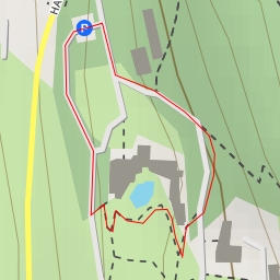
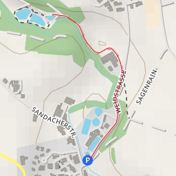
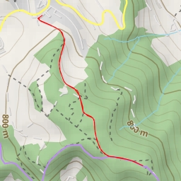
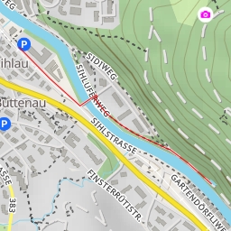
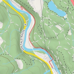
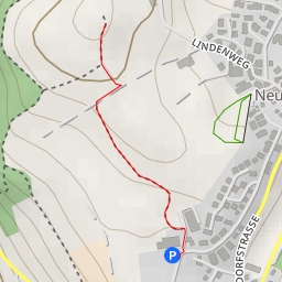
Welcome to the Park Seleger Moor hiking route! This circular route offers a super easy hike with a distance of approximately 1.142 kilometers and no elevation gain.
The trail starts at Seleger-Moor-Strasse, where you can find parking facilities at the beginning of the route. As you begin your hike, you'll come across an information point about Seleger Moor and some benches to take a break if needed.
About 0.34 kilometers into the hike, you'll find a water point close to the trail, followed by a fast-food spot and another water point at the 0.47 kilometers mark. Continuing on, at around 0.49 kilometers, there is a shelter available for hikers to rest or have a picnic.
As you reach the halfway point of the trail, you'll find a picnic site where you can enjoy some snacks while appreciating the surrounding natural beauty of Seleger Moor. Nearby, there are additional water points for you to refill your bottles and stay hydrated.
Towards the end of the hike, approximately 0.55 kilometers in, there is another water point and a BBQ spot for those who want to have a cookout. Additionally, a viewpoint and drinking water facilities can be found at the 0.28 kilometers mark, providing a nice break before finishing the route.
Overall, this leisurely hike is perfect for all skill levels and offers various amenities along the way. Remember to bring water, snacks, and check the weather forecast before starting your adventure. Enjoy exploring the Park Seleger Moor hiking route!