&fill=rgba(0,0,0,0))
Plattjoch
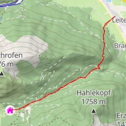
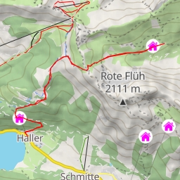
This extremely difficult 14.859-kilometer out-and-back hiking route will take you to the beautiful Plattjoch destination. Starting at the trailhead, you will be immersed in the stunning natural surroundings of the area.
Along the way, you will come across various points of interest. About 4.02 kilometers from the start, you will find a water source, providing a refreshing break for hikers. Continuing on, at the 1.48-kilometer mark, a bench and a viewpoint called Achsel offer a perfect spot to rest and take in the scenic views.
As you advance, you will encounter more facilities, such as information points, shelters, and benches, strategically placed along the trail for your convenience. At about 7.43 kilometers from the start, you will reach the peak of Plattjoch, where you can enjoy panoramic views of the surrounding landscapes.
Hiking tips for this challenging route include bringing an ample water supply, checking the weather forecast beforehand, and wearing appropriate hiking gear. The trail features an elevation gain of 1097 meters, so be prepared for a strenuous ascent.
Remember to stay on the trail and respect the natural environment around you. Enjoy the journey to Plattjoch and have a safe and rewarding hiking experience!