&fill=rgba(0,0,0,0))
Leiterweg Ganderfluh
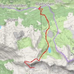
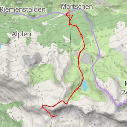
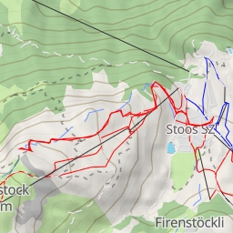
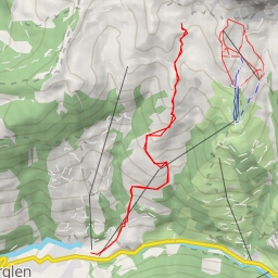
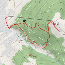
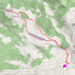
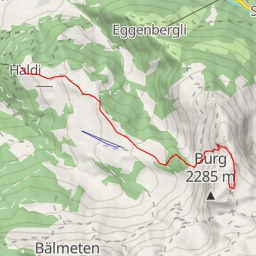
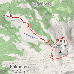
This hiking route takes you through the scenic area of Leiterweg Ganderfluh, offering stunning views and challenging terrain. With a total distance of 11.921 kilometers and an elevation gain of 1161 meters, this route is classified as difficult and is estimated to take approximately 5 hours and 39 minutes to complete.
As you begin your journey, you will come across various points of interest along the trail. At the start, you will find parking options available within close proximity. As you continue, you will pass by the Kinzigpass restaurant, offering a potential pit stop for sustenance.
Further along the trail, at around 5.1 kilometers into the hike, you will reach Alafund, where you can find Alpcafe Alafund for a refreshing break. Additionally, benches are placed along the trail for resting spots.
Throughout the hike, you will encounter informative points and natural rock formations that add to the beauty and intrigue of the surroundings. It is advisable to bring an ample water supply, snacks, and to check the weather forecast before embarking on this challenging journey.
Overall, this out-and-back route in Leiterweg Ganderfluh promises a rewarding yet demanding hiking experience, with nature and adventure awaiting at every turn.