&fill=rgba(0,0,0,0))
Bábovka


Welcome to the hiking route to Bábovka!
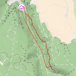
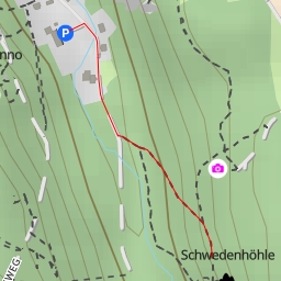
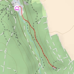
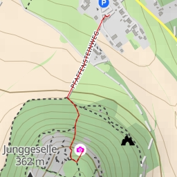
Located in a picturesque area, this hiking trail offers a super easy route with a total distance of approximately 1.142 kilometers and no elevation gain. Before starting your hike, make sure to check the weather forecast and bring enough water for the journey.
As you embark on the trail, you'll come across several points of interest:
- At 0.27 kilometers from the start, you'll find several rock formations along the trail, perfect for rock climbing enthusiasts.
- Continuing on, at 0.29 kilometers, you'll encounter the peak of Komínová věž, also known as Hláska.
- At 0.57 kilometers, you'll find the stunning peak of Bábovka, which marks the endpoint of the trail.
Throughout the hike, you'll have the opportunity to explore various climbing spots and natural peaks such as Hlásný, Bumbrlíček, Cipísek, and more. Make sure to take your time and enjoy the scenic views along the way.
Remember to stay hydrated, wear appropriate footwear, and follow trail markers to ensure a safe and enjoyable hiking experience. Whether you're a seasoned hiker or just starting out, the trail to Bábovka promises a memorable outdoor adventure.