&fill=rgba(0,0,0,0))
Col Bartaise


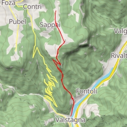
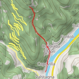
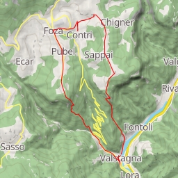
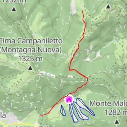
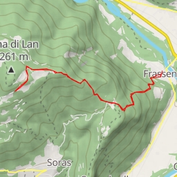
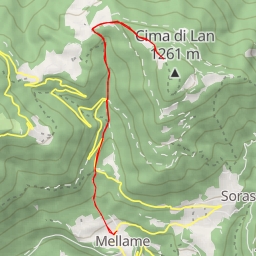
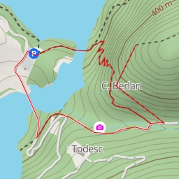
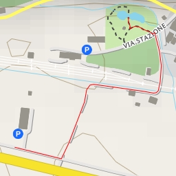
This hiking route will take you through the scenic area of Col Bartaise. The trail is a circular route with a total distance of 2.947 kilometers and an elevation gain of 139 meters, making it an easy hike suitable for all skill levels.
As you start your hike, you will come across a parking area at the beginning of the trail. Along the way, you will pass by several historic wayside crosses, each with its own unique story to tell about the area's past. About 0.73 kilometers into the hike, you will find another wayside cross located right on the trail, providing a glimpse into the local history.
Midway through the hike at 1.26 kilometers, you will reach the peak of Col Bartaise, offering stunning views of the surrounding natural landscape. Close to the peak, you will also find information points such as Loc. Velte and another information point at 0.99 kilometers, providing additional insights into the area's significance.
At the end of the trail, you will encounter a memorial site commemorating a historical event, adding a poignant touch to the hike. Remember to bring plenty of water, wear suitable footwear, and check the weather forecast before embarking on this journey. Enjoy the beauty of Col Bartaise and immerse yourself in its rich history while exploring this captivating hiking route.