&fill=rgba(0,0,0,0))
Whiteside East Top


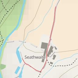
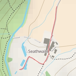
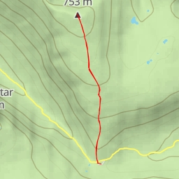
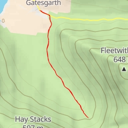
This hiking route takes you through the scenic area around Whiteside East Top. The trail is 4.763 kilometers long with an elevation gain of 528 meters, making it a difficult hike that will challenge even experienced hikers.
Starting at the parking area near the trailhead, you will begin your journey towards Whiteside East Top. Along the way, you will pass by Whiteside Wainwright Summit, located approximately 1.98 kilometers into the hike. This peak offers stunning views of the surrounding landscape and is a great spot to take a break and enjoy the scenery.
Further along the trail, at a distance of about 2.38 kilometers from the start, you will reach Whiteside East Top, the ultimate destination of your hike. This peak provides panoramic views of the area and is a rewarding goal to reach.
As you embark on this challenging hike, be prepared with plenty of water and snacks to keep you energized. Make sure to check the weather forecast before setting out, as conditions can change quickly in mountainous areas. Wear appropriate footwear and clothing, and always stay on the designated trail to protect the natural environment.
Overall, this hike to Whiteside East Top offers a rewarding experience for those looking to push their limits and immerse themselves in the beauty of the outdoors.