&fill=rgba(0,0,0,0))
Schlappiner Spitze
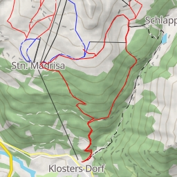
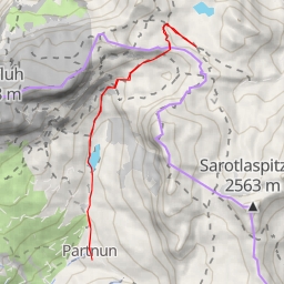
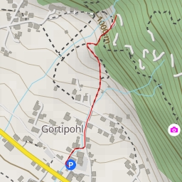
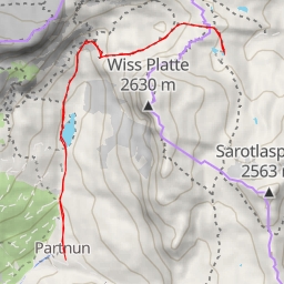
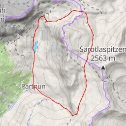
Located in the scenic mountains, the hiking route to Schlappiner Spitze offers a challenging yet rewarding experience for outdoor enthusiasts. With a total distance of 13.426 kilometers and an elevation gain of 923 meters, this trail is classified as extremely difficult, suitable for experienced hikers.
As you begin your journey, you will come across the Madrisa Hutte, an alpine hut nestled 1.61 kilometers from the starting point. This cozy accommodation provides a glimpse into the local mountain culture. Along the way, you will encounter several informational points that offer insights into the surrounding landscape.
Around the midway point of the hike, you will find refreshing water sources such as springs and creeks, perfect for quenching your thirst and refueling for the remainder of the trek. Additionally, there are designated resting spots like benches where you can take a break and admire the breathtaking views.
As you near the endpoint, the trail leads you to the impressive Schlappiner Spitze peak, standing tall at 6.71 kilometers from the start. This natural marvel offers panoramic views of the surrounding valleys and is a perfect spot for taking in the beauty of the mountains.
Before embarking on this challenging hike, make sure to pack plenty of water, snacks, and appropriate gear. Check the weather forecast beforehand and dress accordingly. With its stunning vistas and diverse terrain, the hike to Schlappiner Spitze promises an unforgettable adventure in the heart of nature.